EN

The Hoch-Tirol-Trail

Cross-border long-distance hiking trail from Südtirol to Osttirol

The long-distance hiking trail Hoch-Tirol-Trail connects the village of Prettau in the Ahrntal valley with the village of Prägraten am Großvendiger in Osttirol in three stages. The trail crosses the Rieserferner-Ahrn Nature Park in Südtirol and the National Park Hohe Tauern in Osttirol. On 25 kilometres of trail, 1490 metres of ascent and 1000 metres of descent are covered from Südtirol.

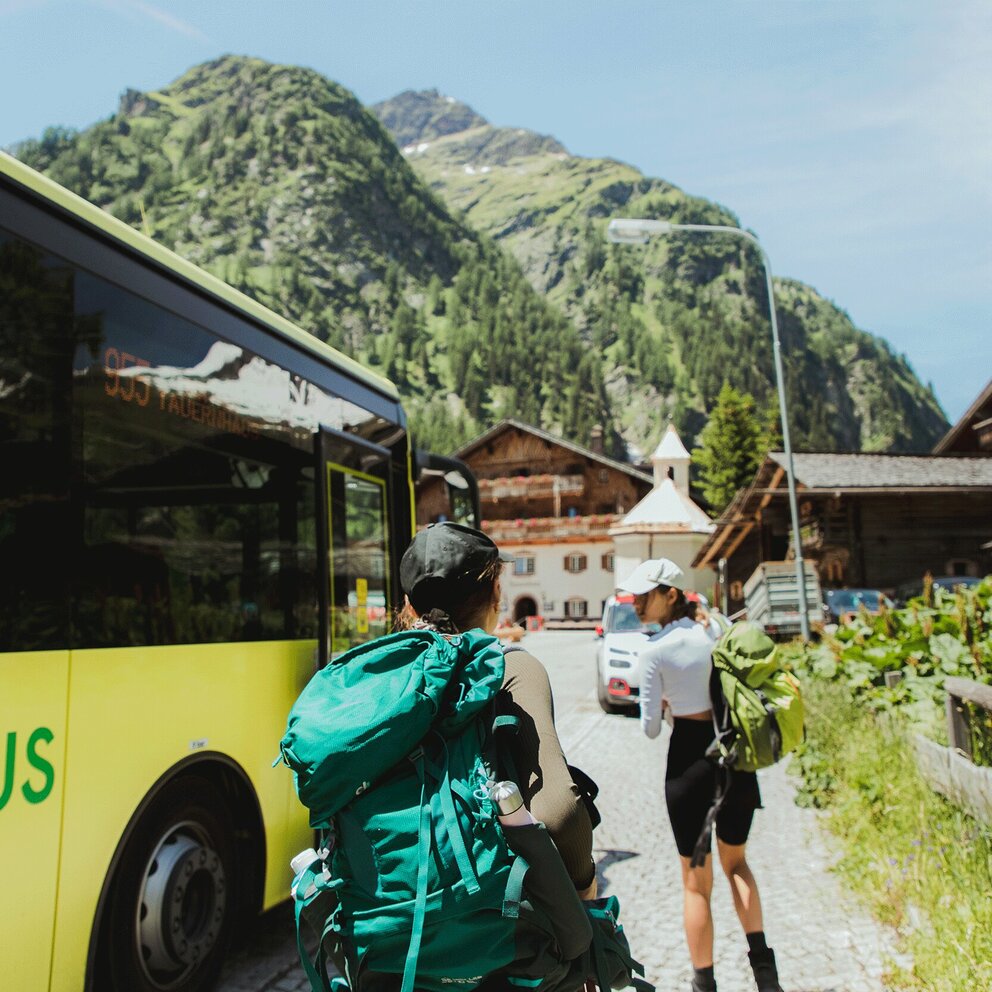
On the Italian side, the Lenkjöchlhütte at an altitude of 2,603 metres serves as a base, while on the Austrian side, the Clara Hut - located at an altitude of 2038 metres - offers overnight accommodation. The hut approaches on both sides are much frequented hiking destinations. Between the two huts, the Hoch-Tirol-Trail leads through a quiet and wild area where you will hardly encounter any mountaineers. The journey to and from the starting and end points of the trail is by public transport.
Impressions

back
Next
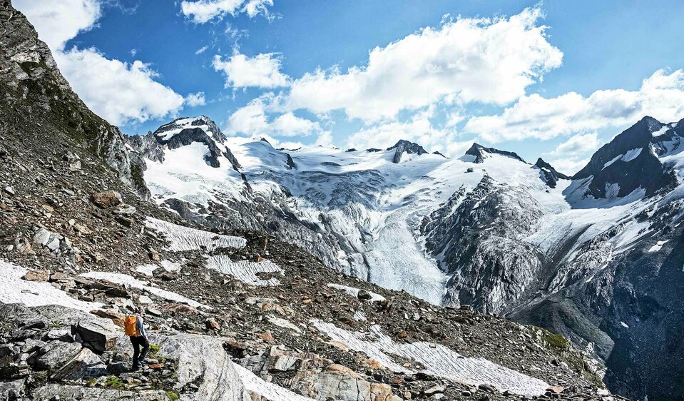
View of the mighty Umbalkees
Massive ice masses form the source of the Isel. The view sweeps from one 3000 meter high mountain to the next.
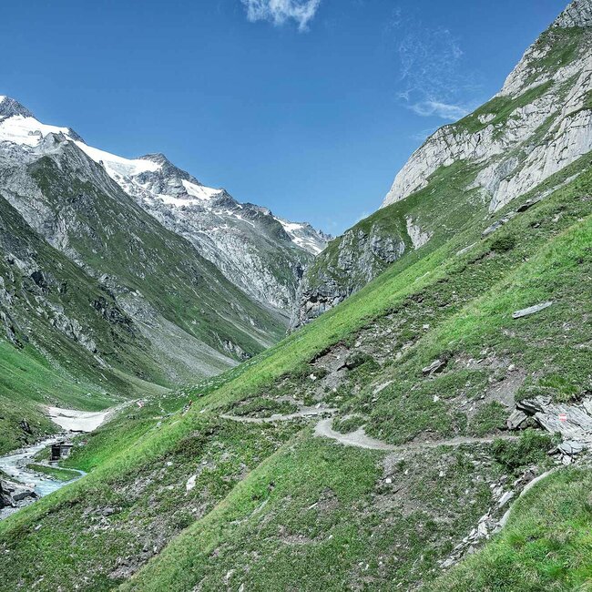
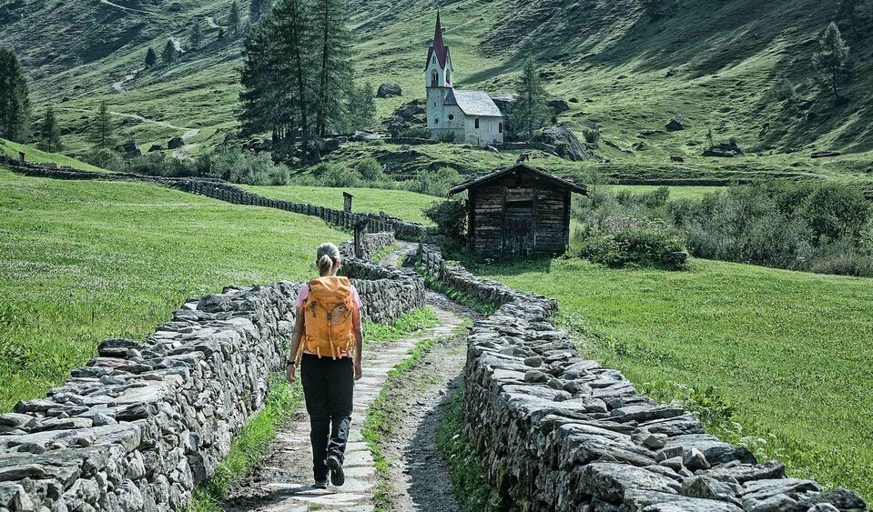
picturesque Windtal valley in Südtirol
Shortly after the parking lot at Kasern, the lush green Windtal opens up. A lonely valley with the Holy Spirit Chapel in the background.
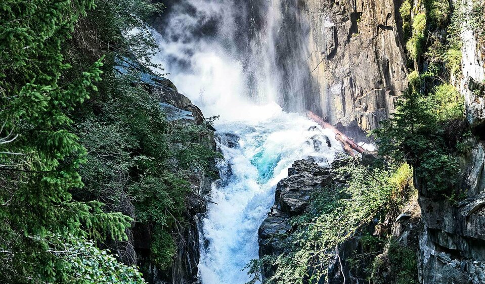
Gloschlucht canyon  Hinterbichl
Gloschlucht canyon Hinterbichl
The colorful Glo-waterfall at Hinterbichl. From the lookout platform you have the best view of the water spectacle. It is often also called the "rainbow waterfall".
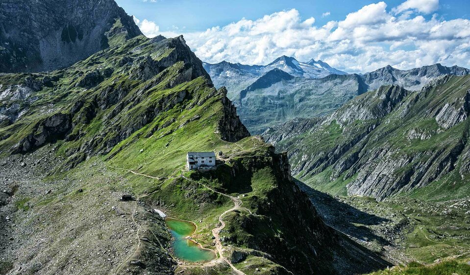
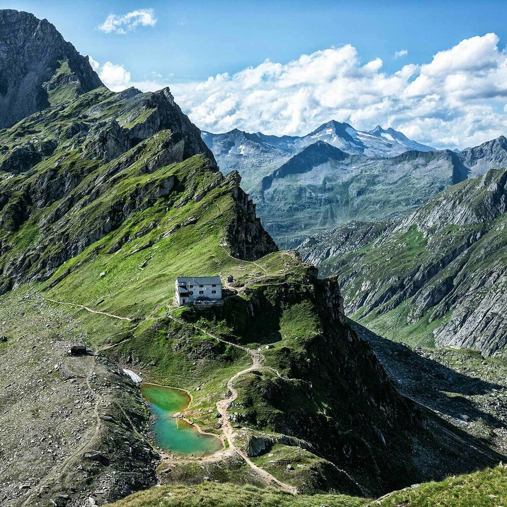
Lenkjöchlhütte with emerald green mountain lake
The first place to stay is the picturesquely situated Lenkjöchl Hütte. It is certainly one of the most beautiful huts in Südtirol
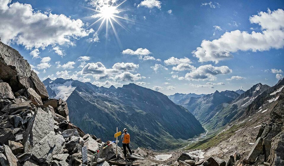
View from the "Vorderes Umbaltörl"
At the highest point of the trail there are unique views of the Umbaltal valley with the associated glacier.
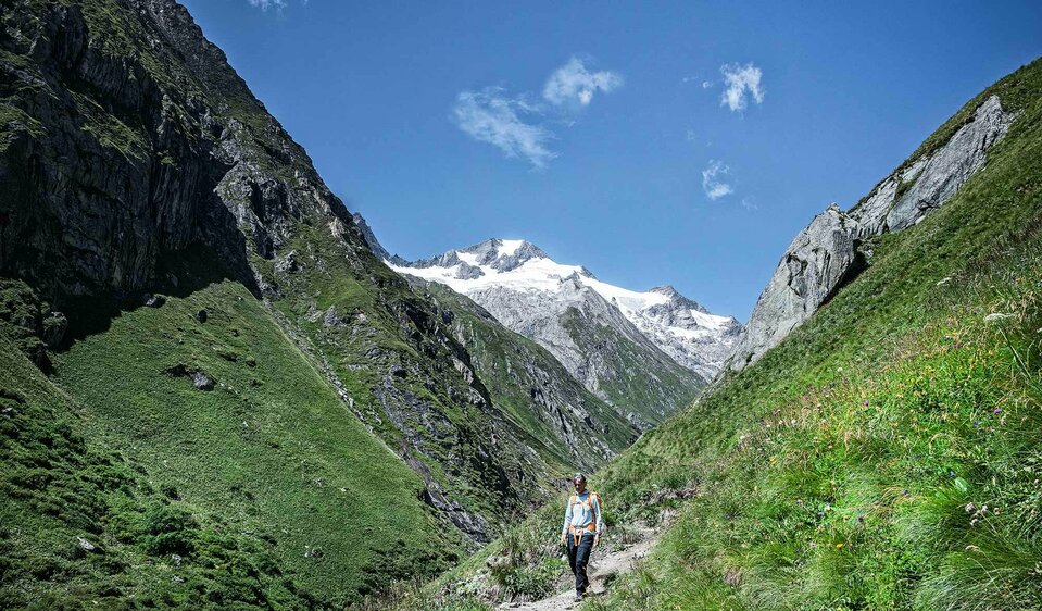
Umbaltal valley at Prägraten am Großvenediger
On the descent you may hike through the idyllic Umbaltal Valley. Here you will also find the largest waterfalls in Osttirol - the Umbal Falls.
The stages of the Hoch-Tirol-Trail

Hoch-Tirol-Trail Stage 1

starting point:
Parkplatz Kasern (Prettau)
destination point:
Lenkjöchlhütte
highest point:
2603 m
total walking time
4 h
distance
7.5 km
🔋
altitude meters uphill
1000 hm
🞽
difficulty
average

Hoch-Tirol-Trail Stage 2

starting point:
Lenkjöchlhütte 2.6
destination point:
Clarahütte 2.038
highest point:
2926 m
total walking time
4:30 h
distance
7.5 km
🔋
altitude meters uphill
490 hm
🞽
difficulty
difficult

Hoch-Tirol-Trail Stage 3

starting point:
Clarahütte 2.038m
destination point:
Hinterbichl
highest point:
2038 m
total walking time
4 h
distance
12.8 km
🔋
altitude meters uphill
180 hm
🞽
difficulty
average

Hut overnight stay on the Hoch-Tirol-Trail

The 25-kilometre hike is done in 3 stages. Overnight stays are possible at the Lenkjöchlhütte as well as at the Clara Hütte. At the Lenkjöchlhütte there is a camp for 15 people, as well as two 6-person and two 8-person rooms. The Clara Hütte welcomes you either in the camp or in double or multi-bed rooms. Both huts also offer half board and early booking is highly recommended

infrastructure.name
Clarahütte 2.038m
9974 Prägraten
show on map
infrastructure.name
Lenkjöchlhütte 2.603m
Kirchdorf 79/p
39030 Predoi
show on map
Mobility

Our greatest treasure in Tyrol is our unconsumed nature: the mountains, the fresh air, the silence, the quality of the water and, of course, the people who visit us and live here. Since it is an important concern for us to protect this precious treasure as much as possible, sustainability is a central element of our developments.

An essential part of this sustainability is mobility. With our numerous offers, we want to make it as easy as possible for you to contribute to sustainability. It's good for nature, good for your wallet and good for your nerves.


Information about the free use of public transport at:

Further information


Luggage transfer: There is no luggage transfer available on the long-distance hike.
Current weather situation: Weather in Osttirol
Current trail conditions and information on trail closures: Contact the hut or the tourist information.

Hiking map

You are interested and want to start your hiking experience on the Hoch-Tirol-Trail? Here you can find the official


Hiking map Hoch-Tirol-Trail

Newsletter

Subscribe to our newsletter and receive the best tips every month for current offers, mountain tours, events and much more.