EN

Winter hiking trail "Rundwanderweg Wiesenweg"

Hiking in a winter paradise

The most important at a glance

distance
2.8 km
altitude meters uphill
🔋
22 m
altitude meters downhill
🔋
23 m
walking time uphill
50 min
highest point
🞍
1380 m
difficulty
🞽
easy
state:
closed
starting point:
St. Jakob Tourismusbüro
destination point:
St. Jakob Tourismusbüro
best season:
JAN, FEB, MAR, DEC
route typ:
circuit family tour

altitude profile

Pdf file

Gpx file

Interactive map

Current weather conditions

Sonne-04.png

-6°C/21°F °C

Description

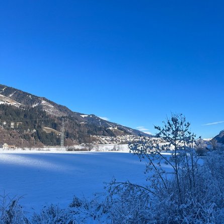
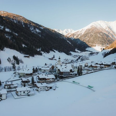
From the school in St. Jakob i. D., cross the bridge and walk out of the valley. After a few minutes, cross the next bridge just before the football pitch. From there you walk in a breathtaking winter landscape next to the Schwarzach towards the Naturhotel Tandler. You then walk back to the village centre via the "Wiesenweg".

Newsletter

Subscribe to our newsletter and receive the best tips every month for current offers, mountain tours, events and much more.