EN

Winklertalweg

Leisurely hike into the Winklertal valley

The most important at a glance

distance
4.3 km
altitude meters uphill
🔋
120 m
altitude meters downhill
🔋
120 m
walking time uphill
1:30 h
total walking time
1:30 h
highest point
🞍
1456 m
difficulty
🞽
easy
state:
closed
fitness:

* * * * *

🞙🞙🞙🞙🞙

technique:

* * * * *

🞙🞙🞙🞙🞙

public transport:

Mit dem Bus bis zur Haltestelle "Kartitsch Gemeindeamt"

parking:

Parkplatz beim Sport- und Freizeitzentrum in Kartitsch

starting point:
Car park center Kartitsch
destination point:
Car park center Kartitsch
best season:
JAN, FEB, MAR, APR, NOV, DEC
route typ:
circuit

arrival

Stop

Kartitsch Gemeindeamt

Parking spot

Car park Kartitsch Center

altitude profile

Pdf file

Gpx file

Interactive map

Current weather conditions

Sonne-02.png

-3°C/27°F °C

Description


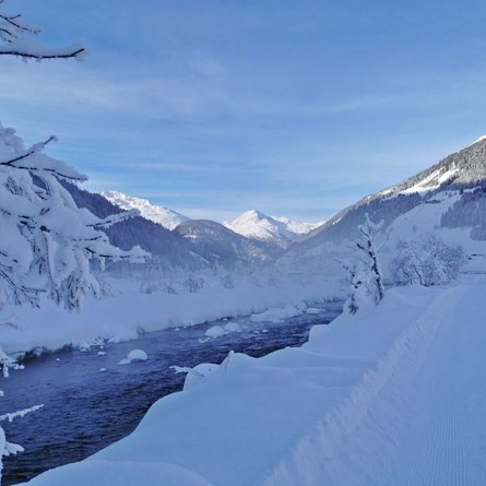
The starting point for this medium difficulty walk is the centre of Kartitsch. You walk in the direction of Neuwinkl and from there on to the sports centre/ice rink. The path now leads into the Winklertal to the beautiful Stiefbden, which affords a majestic view of the imposing rocky walks and the frozen Obstanser waterfall. The maintained path now continues straight on and branches to the right after crossing the wooden bridge. From here it leads into a dense romantic spruce forest. After leaving the forest behind, the walk continues across snowy meadows and fields towards Winkl and offers a wonderful panoramic view over the whole village. Upon arrival at the Winkl farms, you get back to the centre along the municipal road. Connection possibility: Gailbach circuit and Erschbaumertalweg from the sports centre.

Newsletter

Subscribe to our newsletter and receive the best tips every month for current offers, mountain tours, events and much more.