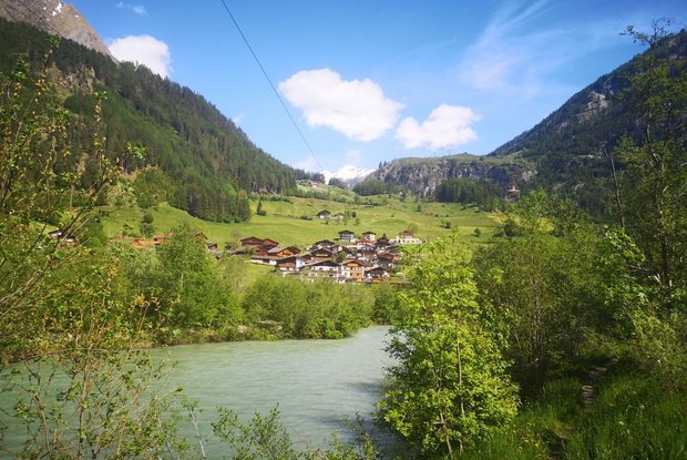
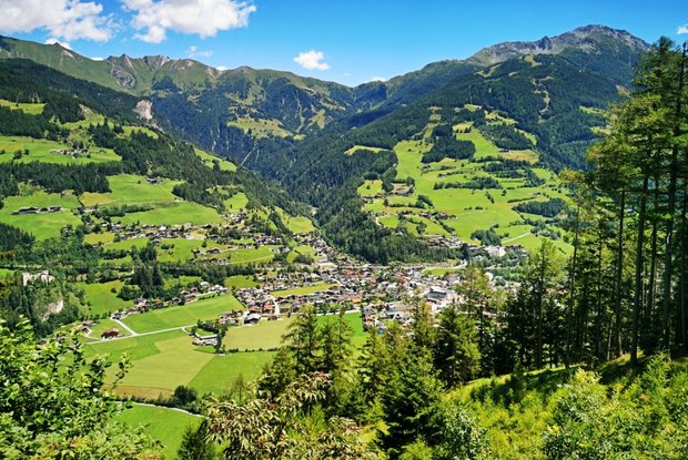
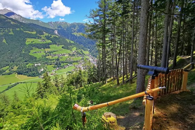
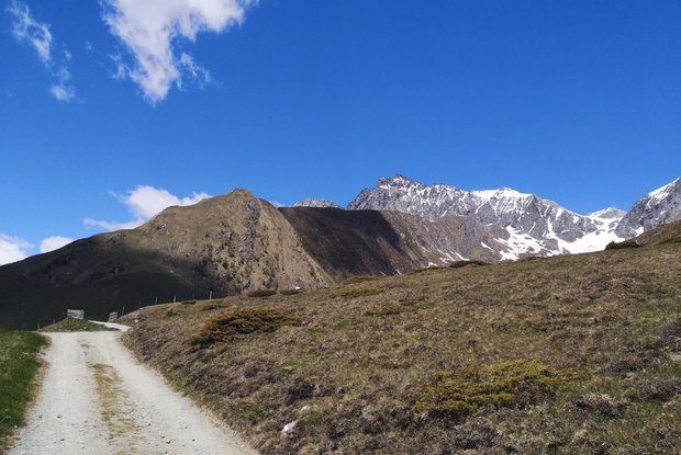
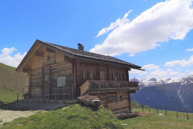
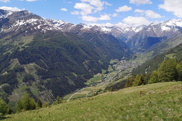
The Virgentaler Sonnseitenweg trail leads from Matrei in Osttirol via Virgen to Prägraten am Großvenediger and connects a number of rustic huts and mountain pastures. As the name suggests, the trail is perfect for sun lovers. There is hardly another long-distance hiking trail that can guarantee you as much sunshine as this one. The famous Umbal Falls are the crowning destination of the long-distance hiking trail, which leads from Matrei i.O. to this natural monument created by water in four days in the middle of the National Park Hohe Tauern. The Virgentaler Sonnseitenweg is particularly suitable for families who want to try a long-distance hike for the first time.
Stage1:
Matrei in Osttirol 975 m – Prossegg (71) Thiemeweg (54) , Strumerhof (1445m) – Zedlach 1.260 m
Walking time: 5 hrs
Stage 2:
Zedlach car park 1260 m – direction Lahntaleralm (42) Obersonnberg (42) – Rabensteinweg (35) – Marin – All Saints Chapel – Gotschaunalm (15) – Schmiedleralm (34,34b) – Nilljochhütte 1975 m (overnight accommodation)
Walking time: 5.5 – 6 hrs
Stage 3:
Nilljochhütte 1975 m - Bodenalm (20) – Liegstätten circuit trail in Timmeltal (28) – Wiesachweg (20) – Katinweg (23) – Redler Stein – Hell Maurach (22a) – Stabanthütte 1777m
Walking time: 4.5 to 5 hrs – depending on the stop at Liegstätten
Stage 4:
Stabanthütte – road (22) – turn at Lumalm (22b) – Hinterbichl alpine path (20) – Alter Dorfertalweg - Hinterbichl – Gasthof Islitzer – Ströden trail (67) – Pebellalm road - and Islitzeralm (911) – Water Experience Trail
Walking time: 3 to 3.5 hrs – depending on stop at the Water Experience Trail
Further information on the stages incl. detailed route description is available here!
