EN

Hollbruckertalweg

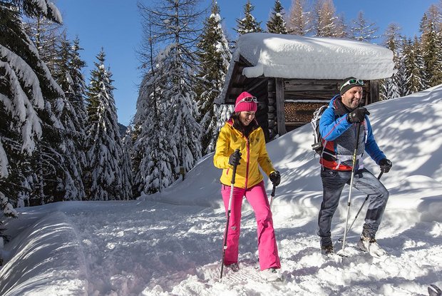
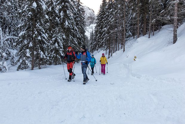
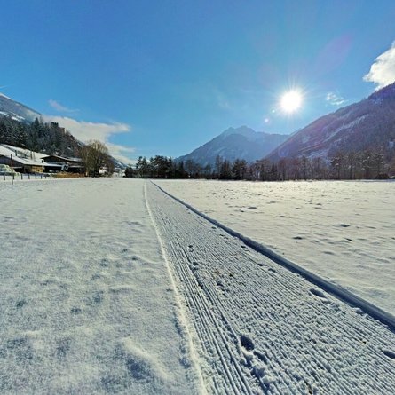
Moderate winter hike into the Hollbruckertal valley

The most important at a glance

distance
3.1 km
altitude meters uphill
🔋
80 m
altitude meters downhill
🔋
80 m
walking time uphill
1:30 h
total walking time
1:30 h
highest point
🞍
1439 m
difficulty
🞽
average
state:
closed
fitness:

* * * * *

🞙🞙🞙🞙🞙

technique:

* * * * *

🞙🞙🞙🞙🞙

parking:

Parkplatz neben der Kirche in Hollbruck

starting point:
car park Hollbruck
destination point:
car park Hollbruck
best season:
JAN, FEB, MAR, APR, NOV, DEC
route typ:
circuit

arrival

Parking spot

Parkplatz Hollbruck

altitude profile

Pdf file

Gpx file

Interactive map

Current weather conditions

Sonne-02.png

2°C/36°F °C

Description

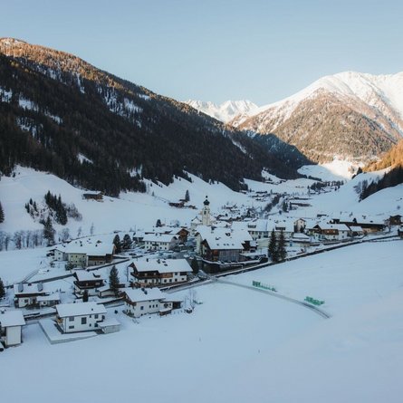
The starting point is the car parkin Holbruck near the Maria Hilf pilgrimage church. The path leads past the Schneiderhöfe and into the Hollbrucktal valley and back again. It affords a wonderful panoramic view of the Carnic main Alpine ridge. Connection possibility: Hollbrucker circuit and Schustertalweg via a connecting section.

Newsletter

Subscribe to our newsletter and receive the best tips every month for current offers, mountain tours, events and much more.