EN

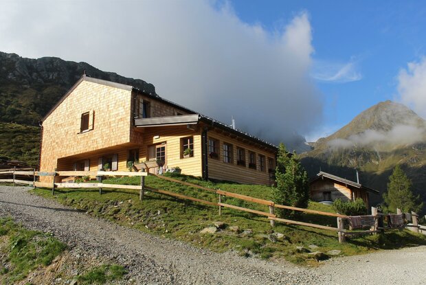
Carnic altitude trail. Stage 3: Obstansersee Hütte – Porzehütte

The most important at a glance

distance
11.3 km
altitude meters uphill
🔋
650 m
altitude meters downhill
🔋
1020 m
total walking time
6 h
highest point
🞍
2678 m
difficulty
🞽
average
fitness:

* * * * *

🞙🞙🞙🞙🞙

technique:

* * * * *

🞙🞙🞙🞙🞙

starting point:
Obstansersee Hütte
destination point:
Porzehütte
best season:
JUN, JUL, AUG, SEP

altitude profile

Pdf file

Gpx file

Interactive map

Current weather conditions

Sonne-02.png

10°C/50°F °C

Description

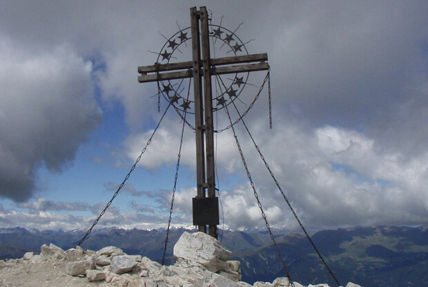
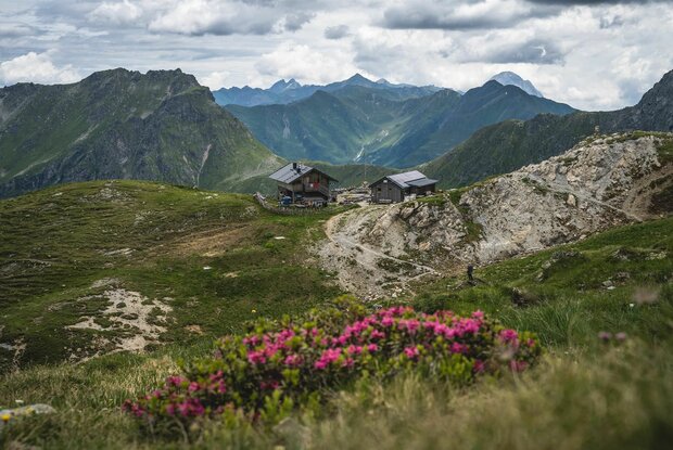
From Obstansersee Hütte the Carnic altitude trail is well signposted, proceeding steeply uphill initially to the Pfannspitze and from there past a stony bouldered area at the Kleinen and Gr. Kingiat (those of you who are fit can hike to the summit of the Gr. Kinigat which has the European Cross – a head for heights and surefootedness required). Just after the Gr. Kinigat descend to the Filmoor Standschützenhütte. After some refreshments in the Filmoor Standschützenhütte continue to the upper Stuckensee and on to Porzehütte.
 

Newsletter

Subscribe to our newsletter and receive the best tips every month for current offers, mountain tours, events and much more.