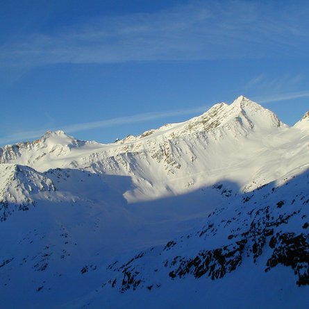
Via the toll road to the Glocknerwinkel car park at the Lucknerhaus, from here into the valley, following the road to the Lucknerhuette (2241 metres). Then continue to the right of the stream until you reach a steep step. Move to the left side of the valley and climb up a steep hollow to the "Viehboeden", 2,500 metres. At the end of the Viehboeden, you leave the valley floor and cross, keeping slightly to the right, into the slopes below the Koednitzkees. From about 2,900 metres onwards, you cross clearly to the right in the direction of the "Blaue Koepfe" until you reach a large deflation basin. From there on, walk straight to the wind gap.
Possible descents:
Descent from the gap: Ski very steeply down a channel until you reach the Leiterkees. From here on, the nice descent leads across the flat floors (orographically keeping to the right) until you get to the summer path. Continue across it, crossing a rock face, you will get to the Glatzbach at approx. 2,640 metres. Here follows a short climb across a flat hollow to the Glorerhuette. Further descent southwest along the Bergerbach Valley to the Lucknerhaus.


