EN

Winter hiking trail Matreier Tauernhaus-Runde

Easy hike in the Matreier Tauernhaus winter paradise

The most important at a glance

distance
1.6 km
altitude meters uphill
🔋
1 m
altitude meters downhill
🔋
1 m
total walking time
35 min
highest point
🞍
1515 m
difficulty
🞽
easy
state:
closed
fitness:

* * * * *

🞙🞙🞙🞙🞙

starting point:
Matreier Tauernhaus 1.512m
destination point:
Matreier Tauernhaus 1.512m
best season:
JAN, FEB, MAR, DEC
route typ:
circuit family tour

arrival

Parking spot

Car park Matreier Tauernhaus 1.510m

altitude profile

Pdf file

Gpx file

Interactive map

Current weather conditions

Sonne-03.png

0°C/32°F °C

Description

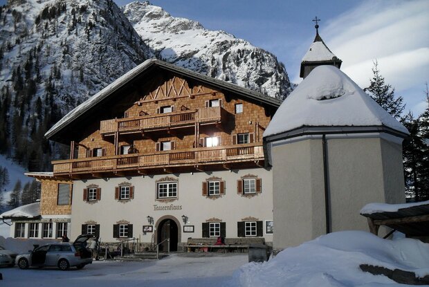
This family hike starts at the Matreier Tauernhaus and initially leads in the direction of Gschlößtal. Before the Messlingbach bridge, turn left and follow the path along the crest of the Tauernbach. Under the thick ice, you can hear the gurgling and gentle rushing of the stream. At midday, the gentle winter sun makes this area glisten. After 1.8 kilometres you reach the starting point again.

Newsletter

Subscribe to our newsletter and receive the best tips every month for current offers, mountain tours, events and much more.