EN

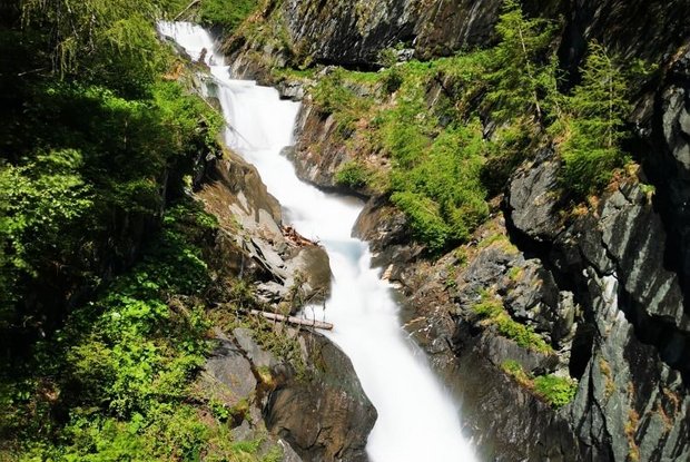
Umbal waterfalls nature force trail

The most important at a glance

distance
5.8 km
altitude meters uphill
🔋
250 m
altitude meters downhill
🔋
250 m
walking time uphill
1:30 h
walking time downhill
1 h
total walking time
2:30 h
highest point
🞍
1660 m
difficulty
🞽
easy
public transport:

Prägraten a.G. Ströden

parking:

Parkplatz Ströden

starting point:
Prägraten Parkplatz Ströden (Maut)
destination point:
Umbalfälle
best season:
MAY, JUN, JUL, AUG, SEP, OCT
route typ:
circuit family tour
cachet:
Österreichische Wander Medalie

arrival

Stop

Prägraten a. G. Ströden

Parking spot

Car park Ströden 1.400m

altitude profile

Pdf file

Gpx file

Interactive map

Current weather conditions

Sonne-03.png

-2°C/28°F °C

Description

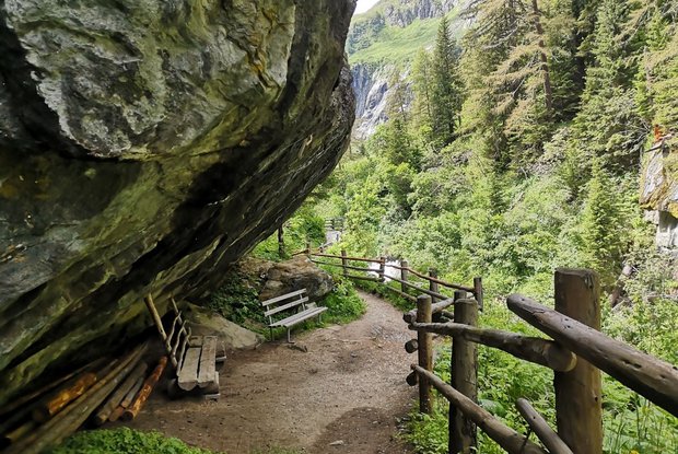
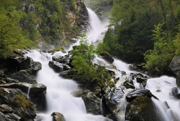
The nature trail "NaturKraftWeg Umbalfälle" at the end of the valley Virgental leads very close to the source of the glacier river Isel and shows its landscape-forming effect and its character in an impressive way. Especially in the summer months, when the glacier melts, impressive masses of water thunder down to the valley.  Along the circular route, there are not only interesting information boards, also visitor platforms make the unbelievable natural force of the water directly tangible, whether high above the gorge or up close to the water.


Access is not possible during the winter months!
Newsletter

Subscribe to our newsletter and receive the best tips every month for current offers, mountain tours, events and much more.