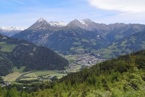
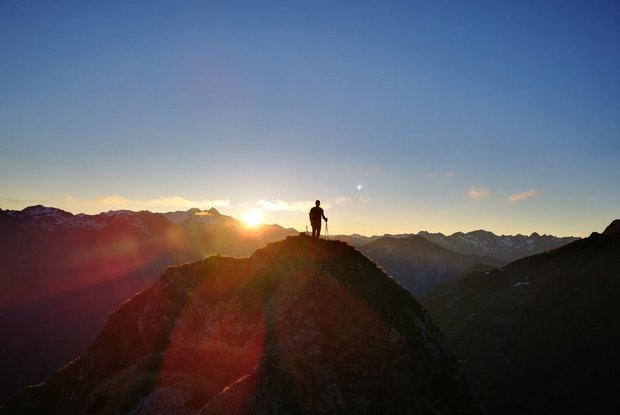
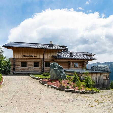
The local mountain in a sunny location. This mountain which provides superb views is covered with a mat of Alpine grasses up to the summit area and is the second highest elevation in the Lasörlingruppe. The views extend to the Venedigergruppe, the Rieserfernergruppe, Glocknergruppe, Schobergruppe through to the Lienzer Dolomiten and the Carnic Alps.
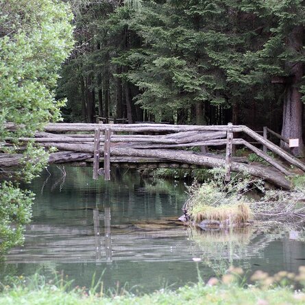
The Stanzling is a tour for experts. Ascent: from Pfisker-Höfen along a forest road (around 30 minutes) to the junction for Hofer Lacke, Riegel and Stanzling. Pass the idyllic play and rest area "Hofer Lacke", through the still mown mountain pastures, the route proceeds steeply up the slopes which enjoy a sunny aspect. The climatically favourable south side provides a great variety of Alpine flora, the otherwise rare Edelweiß thrives here, being plentiful and looking superb. With a bit of luck you might be able to the spot the alpine ibex colony which has settled here over the past few years. However, the steep grassy slopes are slippy when it is wet and these require care and surefootedness.
