EN

Lesach -Lesachriegel-Tschadinalm-Glocknerwinkel

The most important at a glance

distance
14.5 km
altitude meters uphill
🔋
1081 m
altitude meters downhill
🔋
480 m
total walking time
6 h
highest point
🞍
2375 m
difficulty
🞽
average
fitness:

* * * * *

🞙🞙🞙🞙🞙

technique:

* * * * *

🞙🞙🞙🞙🞙

public transport:

bus line 952, busstop Kals/Lesacherhof

parking:

Kals/Lesach

starting point:
Kals/Lesach
destination point:
Parkplatz Glocknerwinkel
best season:
JUN, JUL, AUG, SEP

arrival

Stop

Kals a. G. Lesacherhof

Parking spot

Parking area Glocknerwinkel

Car park Lesach centre

altitude profile

Pdf file

Gpx file

Interactive map

Current weather conditions

Sonne-02.png

-3°C/27°F °C

Description

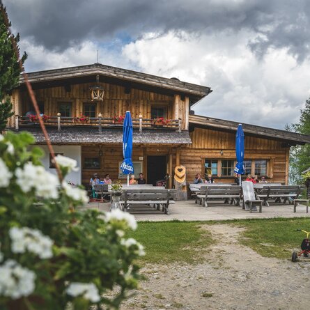
After the ascent from Lesach (Lesachbrücke parking lot) to the Lesachriegel (approx. 2.5 hours), the well-maintained path leads for 1.5 hours to the shelter hut on the Tschadinalm (2314m), from there on to the Peischlachbach and then as a descent variant to the Lucknerhaus. 


The tour can also be undertaken in the opposite direction, walking time from the Lucknerhaus (turn-off towards Peischlachtörl) to the Lesachriegel approx. 3 hours, from there another approx. 1.5 hours descent to Kals/Lesach.

Newsletter

Subscribe to our newsletter and receive the best tips every month for current offers, mountain tours, events and much more.