EN

Kamelisenalm 1.973 m

The most important at a glance

distance
5.8 km
altitude meters uphill
🔋
225 m
total walking time
2 h
highest point
🞍
1958 m
difficulty
🞽
easy
fitness:

* * * * *

🞙🞙🞙🞙🞙

technique:

* * * * *

🞙🞙🞙🞙🞙

parking:

Parkplatz Schettlett

starting point:
Dorfzentrum Innervillgraten
destination point:
Kamelisenalm
best season:
JAN, FEB, MAR, APR, DEC

altitude profile

Pdf file

Gpx file

Interactive map

Current weather conditions

Sonne-04.png

6°C/43°F °C

Description

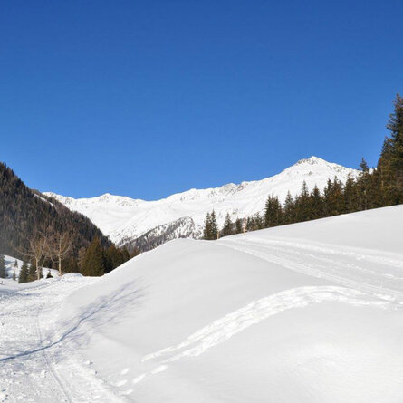
From the village centre to Einettal via the municipal road to the junction for Höggerhöfe. Continue via the cleared winter hiking trail until just before Thaletalm, where you bear left to the Berglethöfen – and Gasserhöfen. At Gasserhöfen continue on the municipal path, past Bachlet – and Schettlethöfen. Follow the route on snow-shoes now to the Kamelisenalm. (When there is not much snow, this route is also suitable without snowshoes.)

Newsletter

Subscribe to our newsletter and receive the best tips every month for current offers, mountain tours, events and much more.