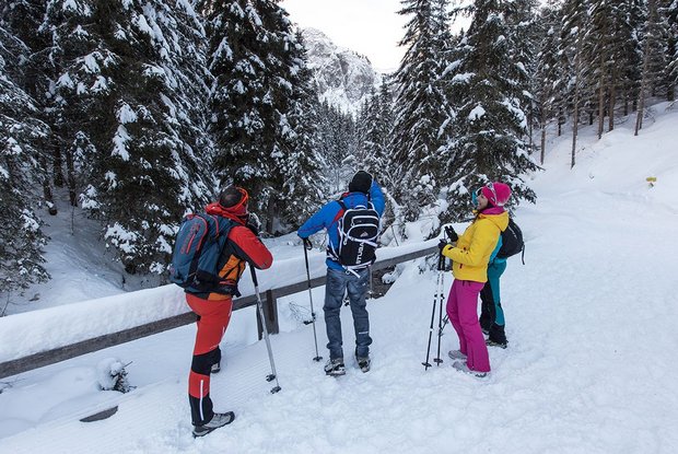
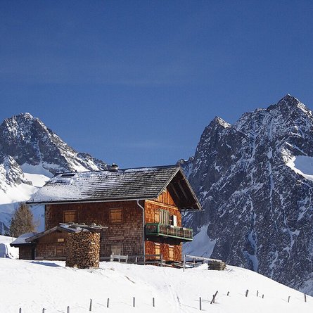
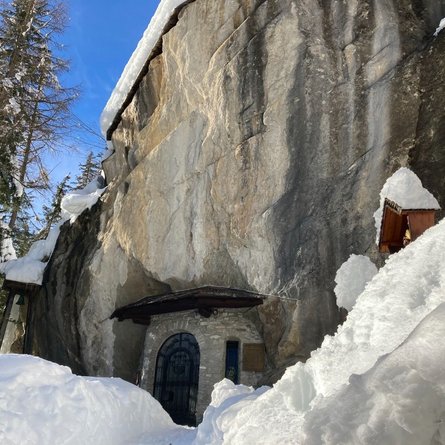
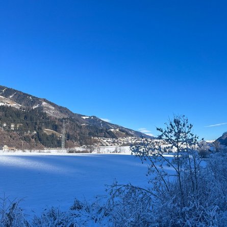
The Hollbrucker circuit starts from the car park near the Maria Hilf pilgrimage church in the direction of Hollbruckertal, past the Schneiderhöfe. After a short time, a beautiful view opens up of the Carnic main Alpine ridge with Demut and Hochgränten. After following the path into the Hollbruckertal for a while, the circuit branches to the right. It now runs through a beautiful spruce forest, from where there are occasional open views into the Pustertal and the Tiroler Gailtal. To the west of Hollbrück, the path joins the municipal road again and one returns to the starting point. The highlight of this walk is without a doubt the magnificent view into the Pustertal, of the Lienz Dolomites and the Lienz valley floor, while in an eastern direction one looks into the Tiroler Gailtal. A visit to the Maria Hilf pilgrimage church, which was built in 1680, also has a lot to offer hikers with cultural and spiritual interests – it is definitely worth popping in for a couple of minutes to enjoy the tranquility and beauty of this pretty church. Connection possibility: Hollbruckertalweg
Menu


