EN

Hiking tour to St. Pöltner Hütte and 3 lakes

The most important at a glance

distance
14.8 km
altitude meters uphill
🔋
980 m
altitude meters downhill
🔋
1080 m
walking time uphill
4:15 h
walking time downhill
3:30 h
total walking time
7:45 h
highest point
🞍
2470 m
difficulty
🞽
difficult
fitness:

* * * * *

🞙🞙🞙🞙🞙

technique:

* * * * *

🞙🞙🞙🞙🞙

public transport:

Matreier Tauernhaus

parking:

Parking place Matreier Tauernhaus

starting point:
Parking place Matrei i. O. Tauernhaus
destination point:
Parking place Matrei i. O. Tauernhaus
best season:
JUL, AUG, SEP

arrival

Parking spot

Car park Matreier Tauernhaus 1.510m

altitude profile

Pdf file

Gpx file

Interactive map

Current weather conditions

Sonne-02.png

-3°C/27°F °C

Description

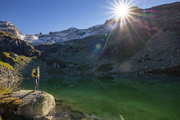
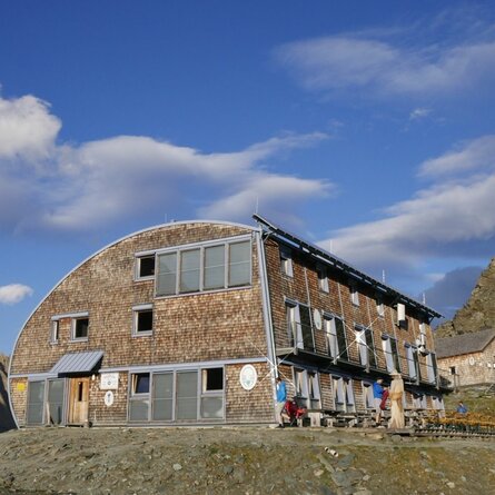
Follow the path from Matreier Tauernhaus towards the Gschlößtal. Nearby the Wohlgemuthalmen you will get to the starting point of the “Alter Tauernweg” (Old Tauern Path) to St. Pöltner Hütte (path no. 511). Passing by splendid observation spot “Zirbenkreuz”, you walk on to St. Pöltner Hütte. Climbing up to Messelingscharte, you can enjoy a fantastic view onto the Venediger range. Climb back down across a section of St. Pöltner Ostweg (East path) to pass by 3 lakes: Lake Grauer See, Lake Schwarzsee and Lake Grünsee. After you have passed by the waterfall of Messelingbach Stream and the flower-covered pastures, walk on towards Matreier Tauernhaus.

Newsletter

Subscribe to our newsletter and receive the best tips every month for current offers, mountain tours, events and much more.