EN

Golzentipp über Gripp (Nr. 47)

wegen Holzschlägerungsarbeiten bis ca. 24. Juni gesperrt!

The most important at a glance

distance
5.6 km
altitude meters uphill
🔋
860 m
walking time uphill
2:30 h
total walking time
2:30 h
highest point
🞍
2317 m
difficulty
🞽
average
fitness:

* * * * *

🞙🞙🞙🞙🞙

technique:

* * * * *

🞙🞙🞙🞙🞙

public transport:

Mit dem Bus bis zur Haltestelle "Obertilliach Dorf"

parking:

Parkplatz Bergbahnen Obertilliach

starting point:
Tourismusbüro Obertilliach
destination point:
Golzentipp Gipfel
best season:
JUN, JUL, AUG, SEP, OCT

arrival

Stop

Obertilliach Gh Weiler

altitude profile

Pdf file

Gpx file

Interactive map

Current weather conditions

Sonne-02.png

-3°C/27°F °C

Description

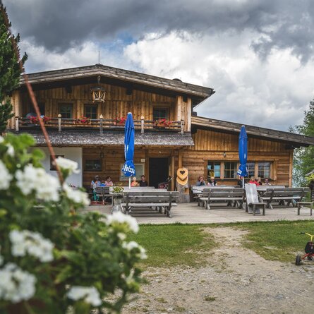
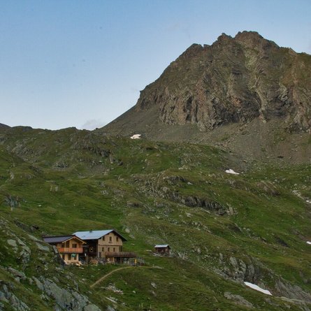
From the village an asphalted road leads to the nothern edge of the village. Nearly 200 metres above, the path no. 47 via Gripp to the Golzentipp. Along the forest road, later over a steeper path trough the forest up to Gripp. At a small mountain hut the forest becomes visibly lighter and narrow, moderately ascending path leads over partly moist mountain meadows further to a small saddle west to the Golzentipp summit. The last section to the right up to the summit is steeper again, but only relativly short!

Newsletter

Subscribe to our newsletter and receive the best tips every month for current offers, mountain tours, events and much more.