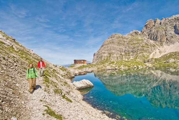
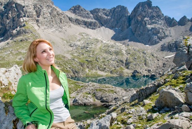
Along Dreitörlweg (three-gap-path) up to hut Hochstadel. The stage begins with the climb up to the Laserztörl gap. From there, the route leads downhill to the Lavanter Alm covering some 400 m difference in altitude. Then a short climb first leads up to Kuhleitentörl gap. After a short descent and ascent past bizarre rock formations, you will get to the Baumgartnertörl. The climb now continues on to the Leitentörl gap. After a descent and the hike, the stage finishes in a south-facing semi-circle around the Hochstadel at the hut Hochstadel. With adequate fitness, a side trip from the Dreitörlweg path up to the Hochstadel provides a further highlight.
Menu


