EN

Circular hike at Zettersfeld

The most important at a glance

distance
5.8 km
altitude meters uphill
🔋
260 m
altitude meters downhill
🔋
260 m
walking time uphill
1:30 h
walking time downhill
30 min
total walking time
2 h
highest point
🞍
1820 m
difficulty
🞽
easy
fitness:

* * * * *

🞙🞙🞙🞙🞙

technique:

* * * * *

🞙🞙🞙🞙🞙

parking:

Parkplatz Faschingalmlift

starting point:
Parkplatz Faschingalm
destination point:
Parkplatz Faschingalm
best season:
MAY, JUN, JUL, AUG, SEP, OCT
route typ:
circuit

arrival

Parking spot

Car park Faschingalm

altitude profile

Pdf file

Gpx file

Interactive map

Current weather conditions

Sonne-04.png

-7°C/19°F °C

Description

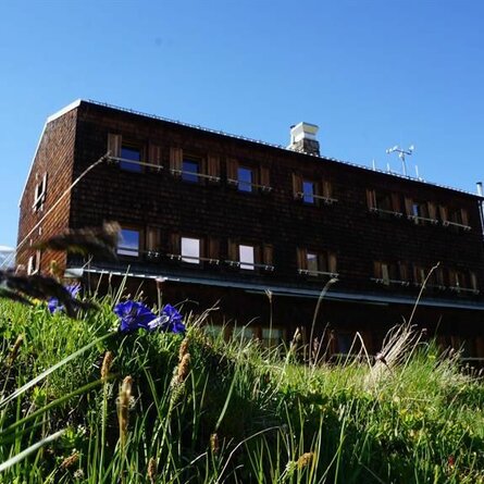
On the Faschingalm mountain road, park at the Hochstubenweg junction. The gravel path is flat initially, then the bends are somewhat steeper up to the Naturfreunde Hütte. This is the highest point of the tour. Continue west to Mecki's Panoramastuben. From there, go downhill through the forest to Faschingalm and cover the final metres by car on the tarmac road.

Newsletter

Subscribe to our newsletter and receive the best tips every month for current offers, mountain tours, events and much more.