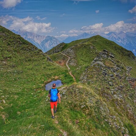
Adlerlounge (2.405m) - Kals-Matreier-Törl (2.207m) - Kalser Höhe (2.434m) - Blauspitze (2.575m)
Ascent with the gondola lift to the Adlerlounge; for experienced hikers- up to the Kalser Höhe an easy hiking trail, from there a marked trail with several rope belays leads in a northerly direction in the direction of "Weißer Knopf" and up to the "Blauspitze" (unconditional requirement of freedom from vertigo and surefootedness!);
a descent option runs in a northerly direction down to the Aussig-Teplitzerweg (AV 516), in the direction of the Panoramarestaurant Blauspitz, Bergrestaurant Glocknerblick and to Kals/Großdorf - duration of this descent option approx. 2.5 to 3 hours;
beautiful panoramic location, can also be combined as a circular tour, botanically very versatile (herb and flower trail on the descent into the valley).


