EN

Moaralmstraße No. 114

Panoramic view.

The most important at a glance

distance
10.9 km
altitude meters uphill
🔋
482 m
altitude meters downhill
🔋
483 m
highest point
🞍
1810 m
difficulty
🞽
average
circuit
🞍
no
fitness:

* * * * *

🞙🞙🞙🞙🞙

technique:

* * * * *

🞙🞙🞙🞙🞙

public transport:

Kals a.G. Gemeindeamt

parking:

Parkplatz Kals Zentrum

starting point:
Kals am Großglockner-Ködnitz (1330m)
destination point:
Moaralm (1810m)
best season:
MAY, JUN, JUL, AUG, SEP, OCT

arrival

Stop

Kals a. G. Gemeindeamt

Parking spot

Car park Kals centre

altitude profile

Pdf file

Gpx file

Interactive map

Current weather conditions

Sonne-04.png

-7°C/19°F °C

Description

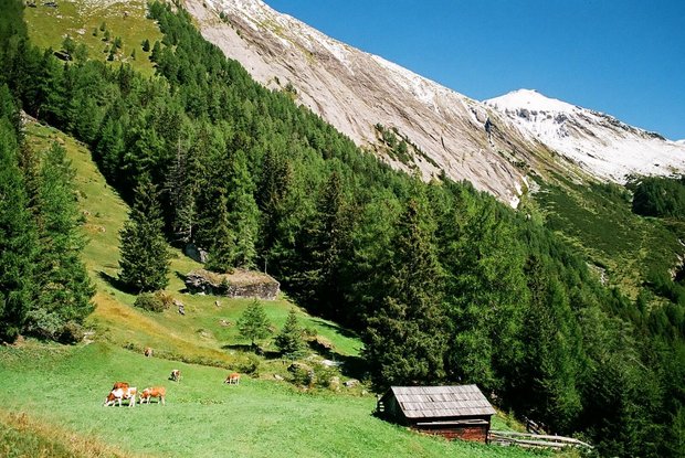
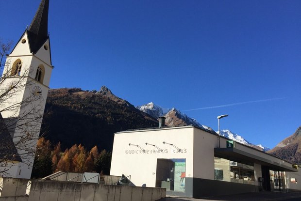
From Kals-Glocknerhaus in a northerly direction to Burg-Taurer. The road climbs steadily for around 2.5 km until the crossing point of the Dorfertal and Moaalm. Here turn to the right and drive further up the tarmac road  for another 2.5 km to Moaalm and further to the parking place. Here is the finish and you may rest on a sunny place at a smal woodden bench an enjoy the nice panoramic view. Should you like to hike further up and if you are not afraid of hights you will reach the Gernot-Liebl panoramic spot area, which offers a great view into the wild and romantic Dorfertal.

Newsletter

Subscribe to our newsletter and receive the best tips every month for current offers, mountain tours, events and much more.