Ski tours in the Defereggental

Untouched snow, silence and overwhelming panoramas.

youtube video

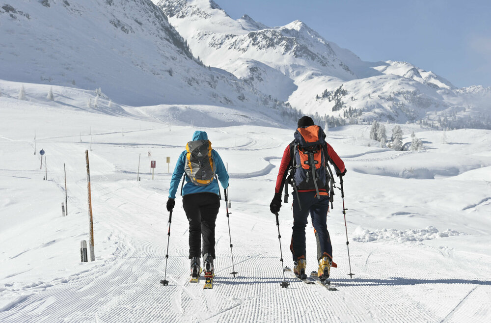
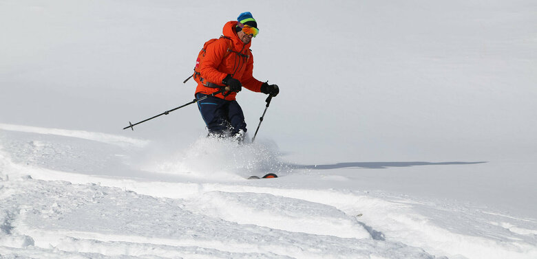
Going on a ski tour in the mountains is a feeling of freedom and an intense connection with nature. Step by step, you climb through the snow, with only the crunching of your skis and your own breathing to be heard. The effort makes you forget everyday life and the higher you get, the more the landscape opens up. Once you reach the top, the view of the snow-covered peaks and the panorama reward you for every meter of ascent. The descent through fresh powder snow gives an incomparable feeling of lightness and leaves you with pure joy and deep satisfaction.

Ski touring tips from the Defereggental

Almerhorn 2.985m

starting point:
St. Jakob i. Def. / Staller Sattel
destination point:
Almerhorn
🔋
altitude meters uphill
980 hm
walking time uphill
3 h
distance
3.6 km

Hochgall 3.436m

starting point:
Staller Sattel (2.000 m)
destination point:
Hochgall (3.436 m)
🔋
altitude meters uphill
1570 hm
walking time uphill
6 h
distance
7.3 km

Hinterbergkofel 2.726m

starting point:
St. Jakob i. Def. / Staller Sattel
destination point:
Hinterbergerkofel
🔋
altitude meters uphill
730 hm
walking time uphill
3 h
distance
3.8 km

Innerrodelkunke 2.730m

starting point:
Staller Sattel
destination point:
Innerrodelkunke
🔋
altitude meters uphill
720 hm
walking time uphill
2:30 h
distance
3.6 km

Rote Wand 2.818m

starting point:
Staller Sattel
destination point:
Rote Wand (2.818 m)
🔋
altitude meters uphill
800 hm
walking time uphill
3 h
distance
6 km

Deferegger Pfannhorn 2.820m

starting point:
St. Jakob – Staller Sattel Straße (1.837 m)
destination point:
Deferegger Pfannhorn (2.820 m)
🔋
altitude meters uphill
810 hm
walking time uphill
3:50 h
distance
3.8 km

Kahorn 2.692m

starting point:
St. Jakob im Def./Maria Hilf, Ortsteil Rinderschinken (1.520 m)
destination point:
Kahorn (2.692 m)
🔋
altitude meters uphill
1150 hm
walking time uphill
3 h
distance
6.5 km

Hochkreuzspitze 2.739m

starting point:
St. Jakob i. Def. / Maria Hilf, Rinderschinken (1420 m)
destination point:
Hochkreuz
🔋
altitude meters uphill
1190 hm
walking time uphill
4 h
distance
8 km

Seespitze 3.021m

starting point:
St. Jakob – Innerberg (1.700 m)
destination point:
Seespitze (3.021 m)
🔋
altitude meters uphill
1320 hm
walking time uphill
4 h
distance
5.2 km

Weißes Beil 2.766m / Kauschkahorn 2.902m

starting point:
St. Jakob i. Def. / Staller Sattel
destination point:
Kauschkahorn (2.903 m)
🔋
altitude meters uphill
1170 hm
walking time uphill
3:30 h
distance
4.9 km

Vom Gr. Leppleskofel (2.812m) ins Leppetal

starting point:
St. Jakob i. Def./Skizentrum St. Jakob i. Def. (2.373 m)
destination point:
Großer Leppleskofel (2.811 m)
🔋
altitude meters uphill
1390 hm
walking time uphill
3 h
distance
6.2 km

Langschneid 2.687m

starting point:
St. Jakob i. Def. / Innerberg
destination point:
Langschneid
🔋
altitude meters uphill
1230 hm
walking time uphill
5 h
distance
5.6 km

Gasser Horn 2.612m

starting point:
St. Jakob i. Def. / Tögisch (1.610 m)
destination point:
Gasser Horn
🔋
altitude meters uphill
950 hm
walking time uphill
3 h
distance
2.4 km

Prägratner Törl 2.846m

starting point:
St. Jakob (1.400 m)/Tögisch (1.653 m)
destination point:
Prägratner Törl (2.846 m)
🔋
altitude meters uphill
1180 hm
walking time uphill
4 h
distance
5.6 km

Mullitz Kopf 2.736m

starting point:
St. Veit i. Def./Oberholz (1.660 m)
destination point:
Mullitz Kopf (2.736 m)
🔋
altitude meters uphill
1060 hm
walking time uphill
3 h
distance
4.1 km

Speikboden 2.653m

starting point:
St. Veit i. Def. – Oberholz 1.660 m
destination point:
Speikboden (2.653 m)
🔋
altitude meters uphill
990 hm
walking time uphill
3 h
distance
3.9 km

Gagenhöhe 2.463m

starting point:
Hopfgarten i. Def. bei der überdachten Holzbrücke am Ortsende
destination point:
Gagen im Zwenewaldtal
🔋
altitude meters uphill
1310 hm
walking time uphill
4 h
distance
7 km
Newsletter

Subscribe to our newsletter and receive the best tips every month for current offers, mountain tours, events and much more.