Winter hiking trail Bodenalm 1.945m

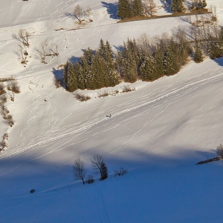
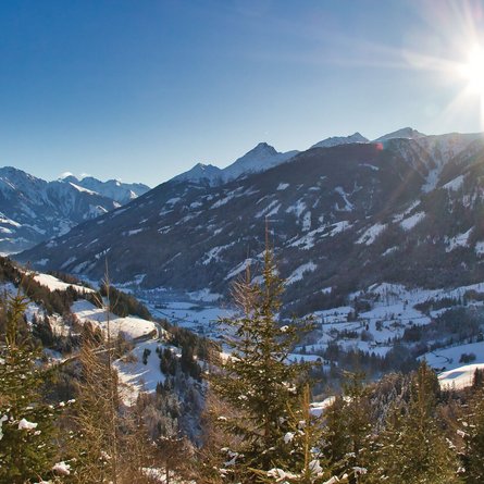
Superb winter hiking trail through snow-covered woodlands.

The most important at a glance

distance
11.8 km
altitude meters uphill
🔋
611 m
altitude meters downhill
🔋
611 m
walking time uphill
2:50 h
walking time downhill
1:30 h
total walking time
4:20 h
highest point
🞍
1945 m
difficulty
🞽
average
state:
closed
fitness:

* * * * *

🞙🞙🞙🞙🞙

technique:

* * * * *

🞙🞙🞙🞙🞙

public transport:

Prägraten a. G. Gemeindeamt (municipal office)

Alternative: Prägraten a. G. Wallhorn

parking:

Prägraten a. G. Gemeindeamt (municipal office)

Alternative: Winter car parking Wallhorn

starting point:
Tourist information Prägraten a. G
destination point:
Bodenalm (1.945m)
best season:
JAN, FEB, MAR, DEC
route typ:
family tour

arrival

Stop

Prägraten a. G. Gemeindeamt

Parking spot

Car park local community Prägraten

Winter car park Wallhorn

altitude profile

Pdf file

Gpx file

Interactive map

Current weather conditions

Sonne-03.png

-2°C/28°F °C

Description

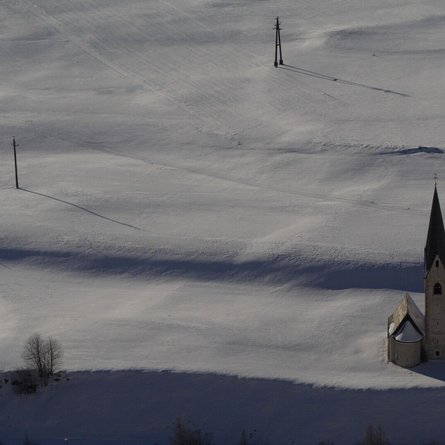
Starting point – tourist office in Prägraten or Wallhorn chapel.

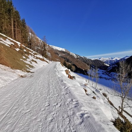
The route proceeds through the village in an easterly direction to the chapel in Wallhorn (car parking available), continuing from there via the road to the final farm, "Osema". The actual winter hiking trail starts there, proceeding in numerous hairpin bends to the "Grießeralm", then continuing to Bodenalm.


Alternative:

You could also park your car at the winter parking area in Wallhorn. From there, follow the signs for the "Wallhornrunde" winter hiking trail. First you walk across open terrain (prepared) in the direction of a detached house. Then head in a north-westerly direction up a moderately steep field path until you reach the municipal road. There you meet the "Bodenalm" winter hiking trail and follow it uphill.

Newsletter

Subscribe to our newsletter and receive the best tips every month for current offers, mountain tours, events and much more.