Wetterkreuz 2.229m

The most important at a glance

distance
6 km
altitude meters uphill
🔋
820 m
altitude meters downhill
🔋
830 m
walking time uphill
3 h
walking time downhill
2:30 h
total walking time
5:30 h
highest point
🞍
2208 m
difficulty
🞽
average
fitness:

* * * * *

🞙🞙🞙🞙🞙

technique:

* * * * *

🞙🞙🞙🞙🞙

public transport:

Bushaltestelle St. Jakob i. D. Gemeindeamt

parking:

Mehrere Parkmöglichkeiten direkt im Ort von St. Jakob

starting point:
Junior high school St. Jakob
destination point:
Wetterkreuz
best season:
JUN, JUL, AUG, SEP

arrival

Stop

St. Jakob i. D. Gemeindeamt

Parking spot

Car park Trojeralmtal

altitude profile

Pdf file

Gpx file

Interactive map

Current weather conditions

Sonne-04.png

-7°C/19°F °C

Description

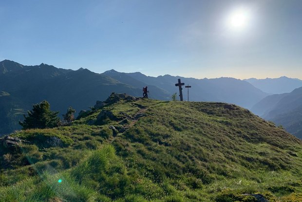
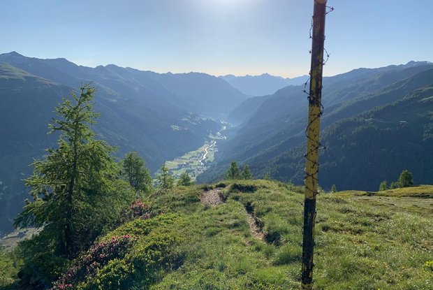
The Wetterkreuz (weather cross) is situated on the north-east ridge of the Langschneid. This summit provides a superb viewing area, with lovely views down into St. Jakob. From St. Jakob (847 metres altitude) – from the new secondary school in St. Jakob to the junction with signposts, via a steep and strenuous path up into the forest and the Wetterkreuz.

Newsletter

Subscribe to our newsletter and receive the best tips every month for current offers, mountain tours, events and much more.