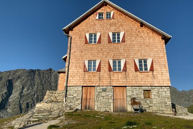
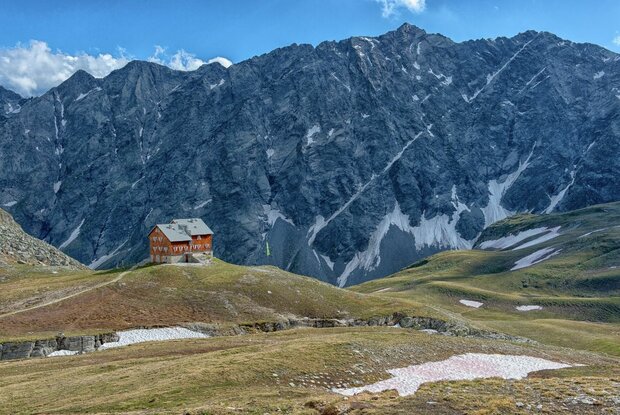
Wanderung zur Neuen Reichenberger Hütte 2.586m from Defereggen valley

Moderately difficult hike to the Neue Reichenberger Hütte

The most important at a glance

distance
7.7 km
altitude meters uphill
🔋
930 m
altitude meters downhill
🔋
930 m
walking time uphill
4 h
walking time downhill
2:50 h
total walking time
7 h
highest point
🞍
2580 m
difficulty
🞽
average
fitness:

* * * * *

🞙🞙🞙🞙🞙

technique:

* * * * *

🞙🞙🞙🞙🞙

public transport:

Bushaltestellen St. Jakob i. D. Gemeindeamt

parking:

direkt im Ortskern von St. Jakob oder Parkplatz Trojertal

starting point:
Parkplatz Trojeralm
destination point:
Neue Reichenberger Hütte
best season:
JUN, JUL, AUG, SEP

arrival

Stop

St. Jakob i. D. Gemeindeamt

Parking spot

Car park Trojeralmtal 1.640m

altitude profile

Pdf file

Gpx file

Interactive map

Current weather conditions

Sonne-04.png

-7°C/19°F °C

Description

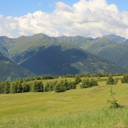
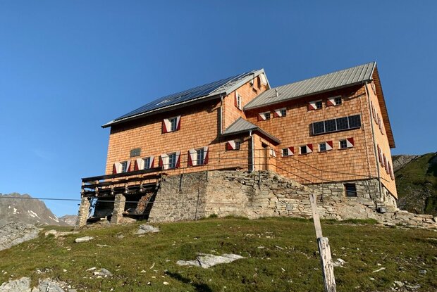
From the Trojeralm car park, hike past the Trojeralm snack station to the Hintere Trojeralmen. From the Hintere Trojeralm, a path on the right-hand side of the slope leads slightly uphill into the valley to the eastern edge of the Sentenböden. From there, the last few metres are a little steeper to the Reichenberger Hütte.


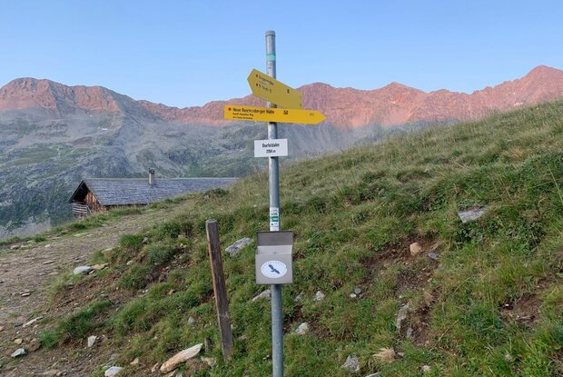
The connecting path between Durfeldalm and Reichenberger Hütte makes for a rewarding circular hike.

Newsletter

Subscribe to our newsletter and receive the best tips every month for current offers, mountain tours, events and much more.