Lesach Riegel – Schönleitenspitze – Lesach AlmAlm

The most important at a glance

distance
17.6 km
altitude meters uphill
🔋
1583 m
altitude meters downhill
🔋
1579 m
walking time uphill
6:30 h
walking time downhill
3:30 h
total walking time
6:30 h
highest point
🞍
2761 m
difficulty
🞽
difficult
fitness:

* * * * *

🞙🞙🞙🞙🞙

technique:

* * * * *

🞙🞙🞙🞙🞙

public transport:

Bus line 952, bus stop Kals/Lesacherhof

parking:

parking in Kals/Oberlesach

starting point:
Lesach
destination point:
Lesach
best season:
JUN, JUL, AUG, SEP, OCT
route typ:
circuit

arrival

Parking spot

Car park Lesach centre

altitude profile

Pdf file

Gpx file

Interactive map

Current weather conditions

Sonne-02.png

2°C/36°F °C

Description

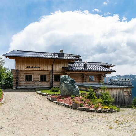
The route starts directly in Lesach and proceeds via Oberlesach on a forest trail, some 2 ½ hours walk to the Lesachriegel. It is somewhat strenuous from here, however it is recommended for good, surefooted hikers, taking some 2 hours to get up to the Schönleitenspitze (2810m, far-reaching, superb viewing point to the surrounding mountain groups and into Kalser Tal). The descent to the Lesachalmhütte is somewhat steep, with lots of metres altitude to cover and is therefore only recommended for fit hikers. Please remember to factor in walking times from and into the valley and to bring food with you – the Alpine lodges are not open for business.

Newsletter

Subscribe to our newsletter and receive the best tips every month for current offers, mountain tours, events and much more.