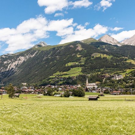
Lavanter Kolm

The most important at a glance

distance
9.4 km
altitude meters uphill
🔋
900 m
altitude meters downhill
🔋
890 m
walking time uphill
3 h
walking time downhill
2 h
total walking time
5 h
highest point
🞍
1920 m
difficulty
🞽
average
fitness:

* * * * *

🞙🞙🞙🞙🞙

technique:

* * * * *

🞙🞙🞙🞙🞙

parking:

Parkplatz Kreithof

starting point:
Kreithof
destination point:
Lavanter Kolm
best season:
MAY, JUN, JUL, AUG, SEP

arrival

Parking spot

Car park Landgasthof Kreithof

altitude profile

Pdf file

Gpx file

Interactive map

Current weather conditions

Schnee-01-02-03.png

1°C/34°F °C

Description

From Kreithof car park follow the standard road for 1 sharp bend. After this first sharp bend bear left, heading south. A narrow path takes you across Lavantaltalp, continue via Kolmsteig to Lavanter Kolm. Wonderful panoramic views across the Lienz valley floor and Drautal.

Newsletter

Subscribe to our newsletter and receive the best tips every month for current offers, mountain tours, events and much more.