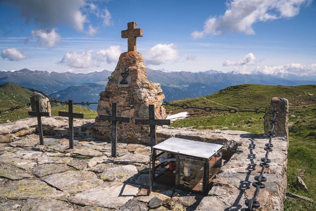
Hollbucker Kreuz and Hochgränten war cemetery

The most important at a glance

distance
10.8 km
altitude meters uphill
🔋
1350 m
altitude meters downhill
🔋
1300 m
walking time uphill
5:45 h
walking time downhill
4:15 h
total walking time
9 h
highest point
🞍
2555 m
difficulty
🞽
average
fitness:

* * * * *

🞙🞙🞙🞙🞙

technique:

* * * * *

🞙🞙🞙🞙🞙

parking:

Parkplatz Hollbruck

starting point:
Hollbruck
destination point:
Graveyard Hochgränten
best season:
JUN, JUL, AUG, SEP

altitude profile

Pdf file

Gpx file

Interactive map

Current weather conditions

Sonne-04.png

-7°C/19°F °C

Description

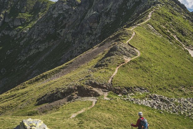
Via Hollbrucker Tal up to the Ochsenboden and from there bear right up to Hollbrucker Eck which has the Hollbrucker Kreuz. Down via the ridge, once again branching off into the Carnic altitude trail No. 403 and continuing to the highest situated war cemetery, Hochgränten cemetery at 2534 m.
 

Newsletter

Subscribe to our newsletter and receive the best tips every month for current offers, mountain tours, events and much more.