The last stage leads close to the valley from Antholz-Mittertal on the orographic left side of the Antholz Stream to Antholz Niedertal. Follow the trail along the Antholz Stream, past the sports zone and take the biotope path that branches off to the left in the direction of Waldhöfe. It leads directly to the Rasner Mösern, a wetland habitat and Natura 2000 area, where, with a bit of luck, you might be able to see rare plant and animal species. An educational trail leads over carefully laid out wooden walkways through the moorland and provides information about this habitat, which has become rare.
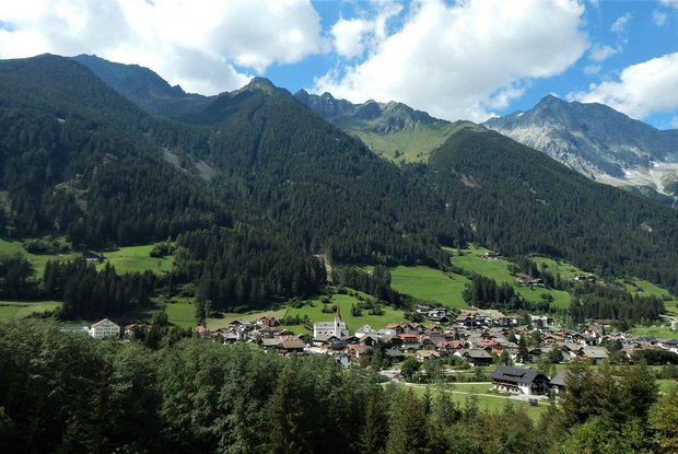
Crossing the Antholz Stream, you will get to the other side of the valley and come to a family barbecue area, which can be used for another short break. Always walking along the edge of the forest, you come to a so-called "Solder", which on the orographic left-hand side of the debris cone offers a wonderful view of the idyllic villages in the valley and reveals the formation of this cultural landscape - from the Ice Age to the present day. The trail then leads over the edge of the debris cone into the valley and the actual destination of this lap in Niederrasen will soon be reached.


