Pilgerweg Prägraten

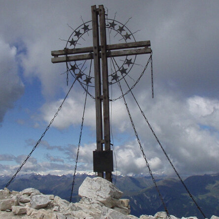
Enjoy the "Highest way of the cross in the alps" (high alpine pilgrim route) in Prägraten a.Gr.

The most important at a glance

distance
33 km
altitude meters uphill
🔋
2793 m
altitude meters downhill
🔋
2914 m
walking time uphill
20 h
highest point
🞍
3300 m
difficulty
🞽
average
fitness:

* * * * *

🞙🞙🞙🞙🞙

technique:

* * * * *

🞙🞙🞙🞙🞙

public transport:

Prägraten a.G. Ströden

parking:

Parkplatz Ströden

starting point:
Hinterbichl/Ströden
destination point:
Prägraten am Großvenediger
best season:
JUL, AUG, SEP

arrival

Stop

Prägraten a. G. Wallhorn

Prägraten a. G. Gemeindeamt

Prägraten a. G. Hinterbichl

Parking spot

Car park Ströden 1.400m

altitude profile

Pdf file

Gpx file

Interactive map

Current weather conditions

Gewitter-00-02.png

30°C/86°F °C

Description

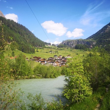
Immerse yourself in a wonderful, natural mountain world on the High Alpine Pilgrimage Trail in Prägraten am Großvenediger. Past blooming Alpine meadows up to the highest heights with breathtaking views - that's what the highest Way of the Cross in the Alps promises. There are 14 Stations of the Cross, 32 km and 2,800 meters of altitude to conquer (alternatively, there is also an easier version).

Newsletter

Subscribe to our newsletter and receive the best tips every month for current offers, mountain tours, events and much more.