The Glocknerkrone

Your majestic high mountain trail in Kals am Großglockner


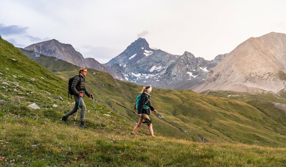
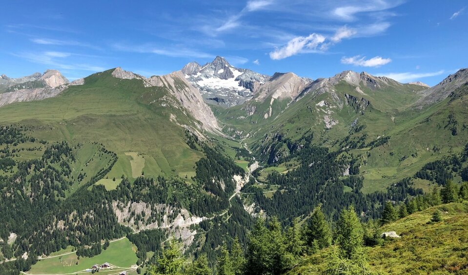
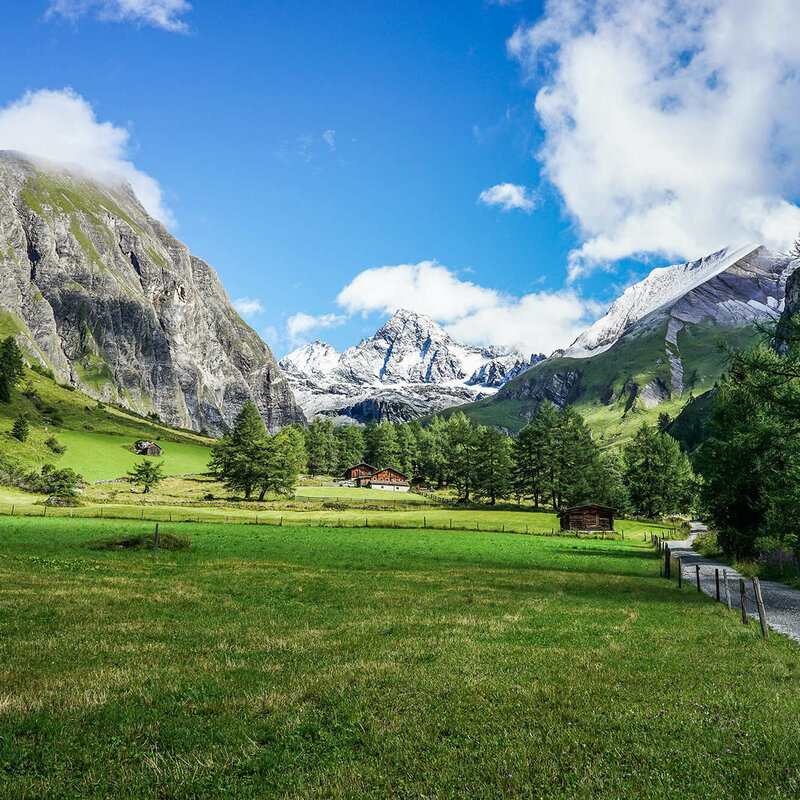
Crown your long distance hiking desires, on this fabulous mountain ridge trail. In six daily stages you will be able to hike the approximately 60 Kilometers of the Glockner Crown, within the realm of theKing Großglockner. High alpine farmland and the famous peaks of Nationalpark Hohe Tauern set the stage. You'll discover Edelweiß Meadow and the nature power spot Spinevitrol, as well as spacious grazing pastures along your way. Providing you with a sense of being in a Tibetan High Valley.


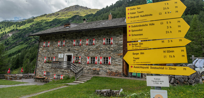
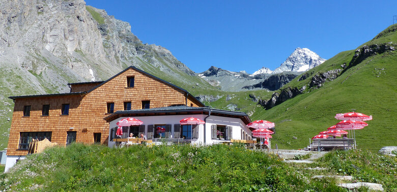
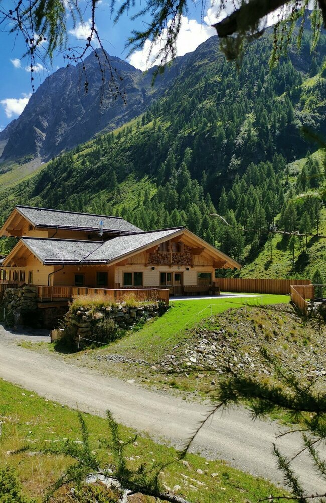
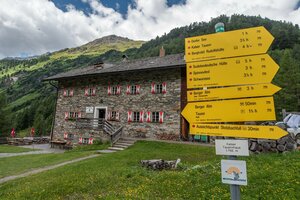
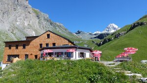
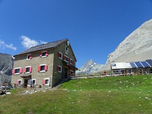
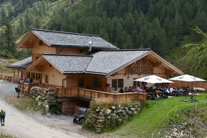
Crossing varying vegetation zones, from flower meadows, animal pastures and sparse areas, all the way to scree fields and glacier ice. Culinary delights and the special rustic vibe of our mountain huts await you. The five jewels of our Glockner Crown are the Sudetendeutsche Hütte, Kalser Tauernhaus, Lucknerhütte, Glorerhütte and the Alpen Inn Glödis Refugium.

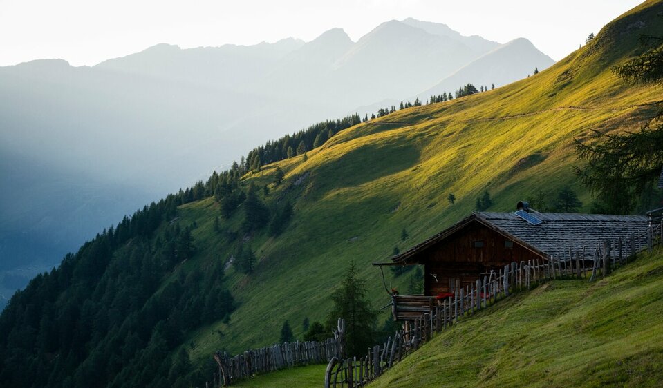
They are individually reachable, as the final destination of your daily stages and offer you a place for rest and regeneration. Also part of the high mountain Glockner Crown Trail are the Äußere Steiner Alm, Bergeralm, Stüdlhütte and the Salmhütte, where you can stop for refreshments. The Kals-Matreier-Törl Haus or the Adler Lounge will be along your trail, should you decide to have Kals a.G. as your starting point. FYI: You have the opportunity for day hiking every segment of the trail, as you can enter and exit the trail at the end of each daily stage.


Order your Glockner Crown folder for home delivery now


View the tour

Glockner Crown

starting point:
Kals/Großdorf
destination point:
Kals/Großdorf
highest point:
2834 m
total walking time
31 h
distance
65.6 km
🔋
altitude meters uphill
3737 hm
🞽
difficulty
average

Highlights on the Long Distance Hike Trail Glocknerkone

back
Next
The Edelweiß Meadow
The Edelweiß Meadow
Dorfertal Valley - Stotz Waterfall
Teischnitztal - Blick auf Großglockner
Gletschervorfeld im Ködnitztal
Ködnitztal Valley
Ködnitztal Valley
View to Großglockner from the valley Leitertal
Crossing point Peischlachtörl
Lesach Riegel - View to the Großglockner
Hängebrücke am Ende des Höhenweges Glocknerkrone

Important Information

  • Baggage transfer: possible to the Lucknerhütte (after the 3. stage), contact: Tel. +43 4876 8455 or info@lucknerhuette.at  
  • Check the weather forecast: Osttirol Wetter
  • Keep yourself up to date about your hiking routes and way locks: Inform yourself before the start of the hike or each stage: Tourismusinformation or ask at the next hut for current information

The huts along the Glocknerkrone

infrastructure.name
infrastructure.name
Sudetendeutsche Hütte 2.650m
infrastructure.name
Bergeralm 1.637m
9981 Kals am Großglockner
infrastructure.name
Kalser Tauernhaus 1.755m
Lana 9
9981 Kals am Großglockner
infrastructure.name
Stüdlhütte 2.802m
Glor-Berg 18
9981 Kals am Großglockner
infrastructure.name
Lucknerhütte 2.241m
Glor-Berg 1
9981 Kals am Großglockner
infrastructure.name
Salmhütte 2.644m
Leitertal
9981 Kals am Großglockner
infrastructure.name
open today
Glorer Hütte 2.642m
infrastructure.name
Alpengasthof Glödis Refugium 1.850 m
Lesach 12
9981 Kals am Großglockner
infrastructure.name
Adler Lounge 2.421m
Großdorf 81
9981 Kals am Großglockner

Stages of the Glocknerkrone

Advantages of the Glocknerkrone high-altitude trail

For planning purposes, it is a huge advantage to be able to walk each stage individually or to get on and off at each stage. The route sections can be adapted as required and for those of you who simply want to get a taste of the Großglockner air, it belongs at the top of the wish list!

Glockner Crown Stage 1

starting point:
Kals/Großdorf
destination point:
Kals/Großdorf
highest point:
2650 m
total walking time
4:30 h
distance
8 km
🔋
altitude meters uphill
1200 hm
🞽
difficulty
average

Glocknerkrone Stage 2

starting point:
Kals/Großdorf
destination point:
Kals/Großdorf
highest point:
2826 m
total walking time
6 h
distance
12 km
🔋
altitude meters uphill
431 hm
🞽
difficulty
average

Glockner Crown Stage 3

starting point:
Kals/Großdorf
destination point:
Kals/Großdorf
highest point:
2800 m
total walking time
8 h
distance
16.2 km
🔋
altitude meters uphill
1376 hm
🞽
difficulty
average

Glockner Crown Stage 4

starting point:
Kals/Großdorf
destination point:
Kals/Großdorf
highest point:
2800 m
total walking time
5 h
distance
8 km
🔋
altitude meters uphill
812 hm
🞽
difficulty
average

Glockner Crown Stage 5

starting point:
Kals/Großdorf
destination point:
Kals/Großdorf
highest point:
2600 m
total walking time
6 h
distance
13.7 km
🔋
altitude meters uphill
195 hm
🞽
difficulty
average

Glockner Crown Stage 6

starting point:
Kals/Großdorf
destination point:
Kals/Großdorf
highest point:
1884 m
total walking time
3:30 h
distance
8.1 km
🔋
altitude meters uphill
91 hm
🞽
difficulty
average

You may also be interested in

Adlerweg Osttirol Etappe 9
Adlerweg Osttirol

Gehen, wo der Adler fliegt: entdecke die schönste Verbindung zwischen den höchsten Bergen Österreichs, inmitten des Nationalparks Hohe Tauern.

Talrundweg Kals - Rastplatz Schoberblick
Talrundweg Kals

Dein Rundwanderweg rund um den Kalser Talkessel

Newsletter

Subscribe to our newsletter and receive the best tips every month for current offers, mountain tours, events and much more.