Baggage transfer: there is no baggage transfer available on the Hoch Tirol ski route.
Current weather situation: Osttirol weather
Avalanche situation: Avalanche report European region Tyrol – South Tyrol - Trentiono
Current trail conditions and information about blocks and detours: contact the respective mountain hut or the tourist information office
The Hoch Tirol Ski Route
The queen of all ski routes
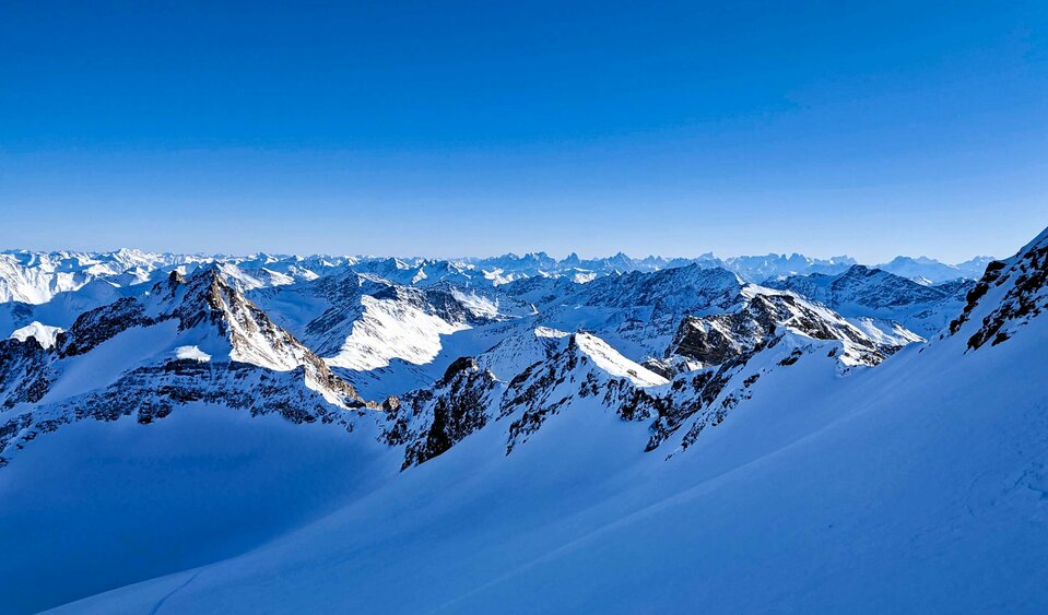
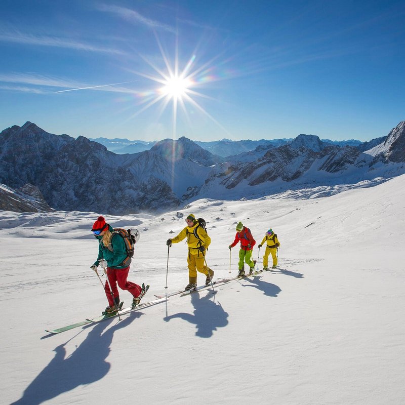
The Hoch Tirol ski route is arguably the most impressive and most breath-taking high mountain crossing in the East Alps. More than 18,000 metres altitude and over 90 kilometers are covered over six days.
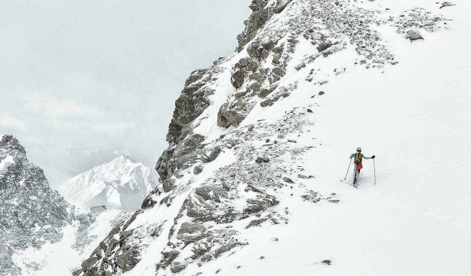
A classic ski tour taking you up the mountain and after conquering the summit, back to the valley again. Yet the Hoch Tirol ski route is not a classic ski tour. On the Hoch Tirol ski route you stay the night in accommodation which is right on the mountain and in bothies located at above 2000 metres, there is even one at 2801 metres (Stüdlhütte on stage 5). The challenging ski route starts in Kasern in South Tyrol and proceeds across the summits of the Venediger mountains to the highest mountain in Austria, the Großglockner (3798m). An overwhelming sensation is guaranteed here when you arrive at the final stage, Kals am Großglockner! The feat you have just achieved, the proximity to the forces of nature around the glacier and the many summits conquered will be etched in your memory.
High alpine ski route with the most beautiful peaks of the eastern Alps
Check out the Hoch Tirol ski route on our interactive map
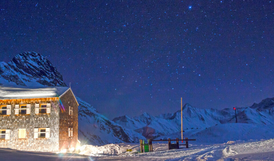
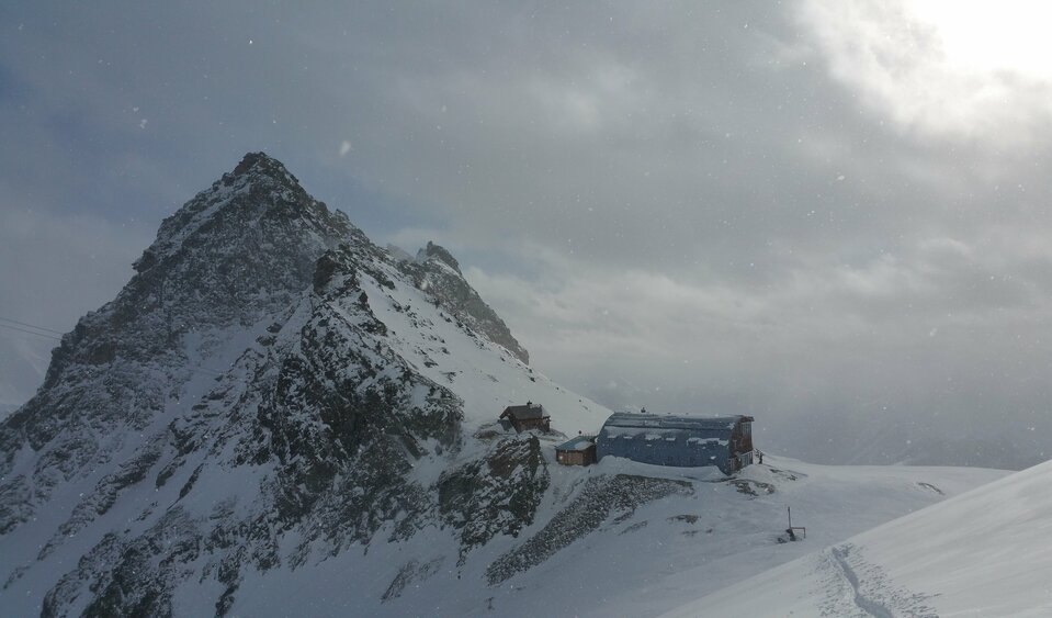
Alpin huts on the ski route Hoch Tirol
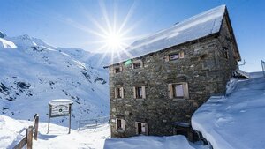
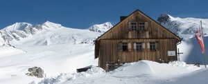
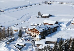
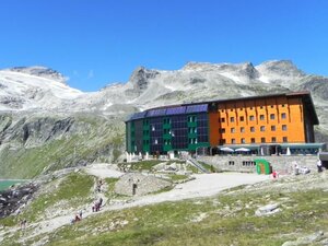
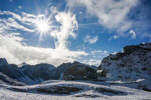
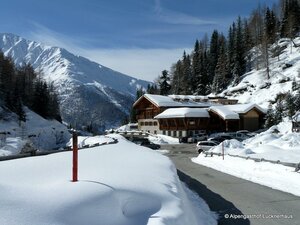
Further information:
Day 1: Setting off into a magnificent mountain world
From Kasern in the South Tyrolean Arntal valley you head over Umbaltörl to Osttirol and over Reggentörl to the Essener Rostocker chalet.
Duration: approx. 7.5 hours; altitude difference: 1720 metres
Hoch Tirol stage 1: From Kasern in South Tyrol to Essener Rostocker-Hütte
Day 2: In the presence of the ice giants
The ski tour with impressive landscape leads after a flat start to the western ridge of Großer Geiger (ski depot) and on to the Großer Geiger at 3360 m. Down over Türmljoch to the Johannishütte chalet.
Duration: approx. 6.5 hours; altitude difference: 1152 m
Hoch Tirol stage 2: Essener Rostocker-Hütte to Johannishütte
Day 3: To the "Weltalte Majestät" (Ancient Majesty) at 3657 m
On the third day, a highlight of the Hoch Tirol ski route awaits you, namely ascending Großvenediger (3657 m), the fourth-highest mountain in Austria. Caution when descending across Schlatenkee, due to an increased risk of crevasses! A descent of 2000 altitude metres past the new Pranger Hütte chalet to Innergschlöss, the most beautiful head of a valley in Austria! A flat route continues to Matreier Tauernhaus.
Duration: approx. 8 hours; altitude difference: 1553 m.
Hoch Tirol stage 3: Johannishütte – Großvenediger – Matreier Tauernhaus
Day 4: Rewarded with a panorama
From the Matreier Tauernhaus, a taxi takes you to the south portal of the Felbertauern tunnel. The Hoch Tirol route leads in a northeasterly direction to Stubacher Sonnblick (3088 m) and on to the Rudolfshütte hut.
Duration: approx. 7 hours; altitude difference: 1925 metres
Hoch Tirol stage 4: Matreier Tauernhaus – Rudolfshütte
Day 5: Steep downhill – continuation on the flat
A leisurely ascent to Grantspitze 3086 m (ski depot). Descent over the south slope to Dorfersee and on through the flat Dofertal to Kalser Tauerwirt. A taxi takes you to Lucknerhaus, from where it is about 2.5 hours to Stüdlhütte.
Duration: approx. 8 hours; altitude difference: 1656 m
Hoch Tirol stage 5: Rudolfshütte – Stüdlhütte
Day 6: The crowning peak
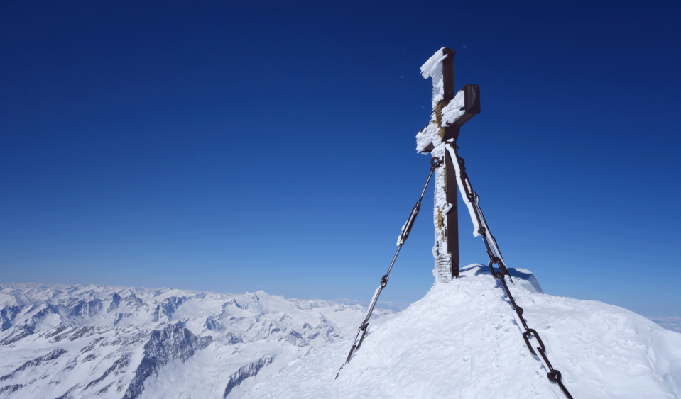
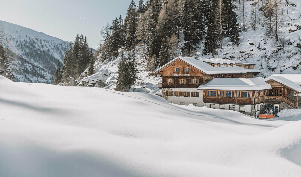
The crowning finale of the Hoch Tirol ski route, Großglockner at 3789 m, awaits you on day 6. From Stüdlhütte you cross Ködnitzkee, on to Glocknerleitl to Kleinglockner, descent to Glocknerscharte and finally to the peak of Großglockner. Caution: climbing skills are essential. Descent to the end of the Hoch Tirol ski route, Lucknerhaus.
Duration: approx. 6.5 hours; altitude difference: 997 m


