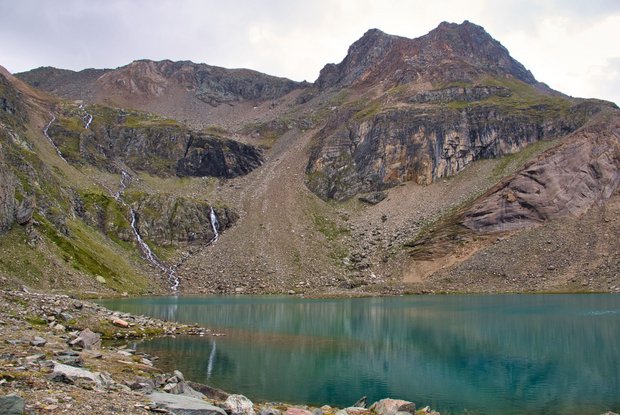
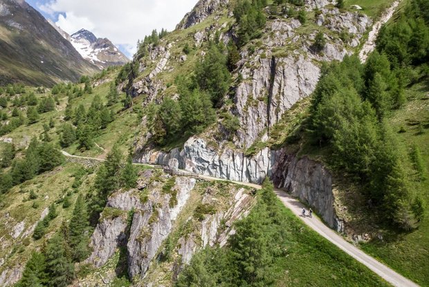
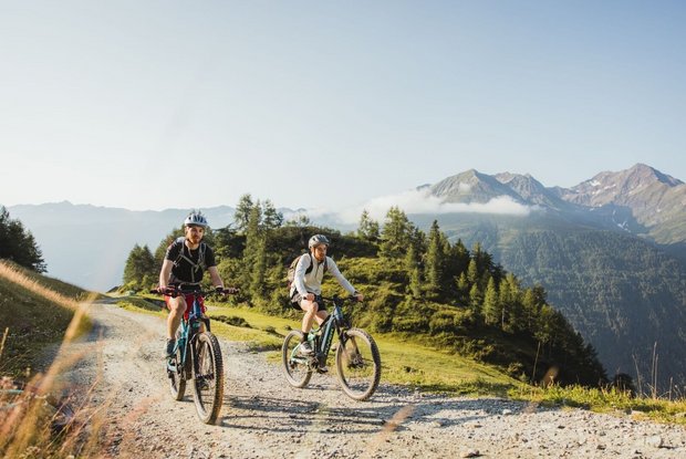
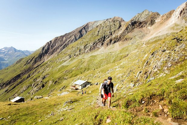
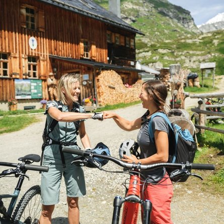
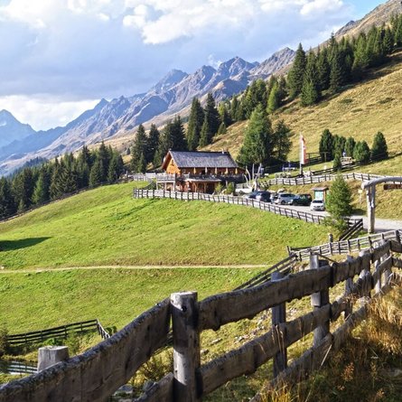
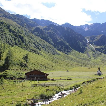
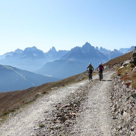
The starting point of this medium-difficulty mountain bike trail is the car park at the Freizeitzentrum Gries. From there it goes through Prägraten am Großvenediger, past the municipal office in a northeasterly direction, via Wallhorn, to the last farm. There continue in switchbacks to the turnoff Zuchetal. Through the forest past 2 cattle gates to a resting bench (end of the road). Here you follow the hiking trail in a westerly direction over the "Zuchetalgraben" for about 300m further (pushing section) onto the goods road, past the Bodenalm and on to the Wallhorneralm.
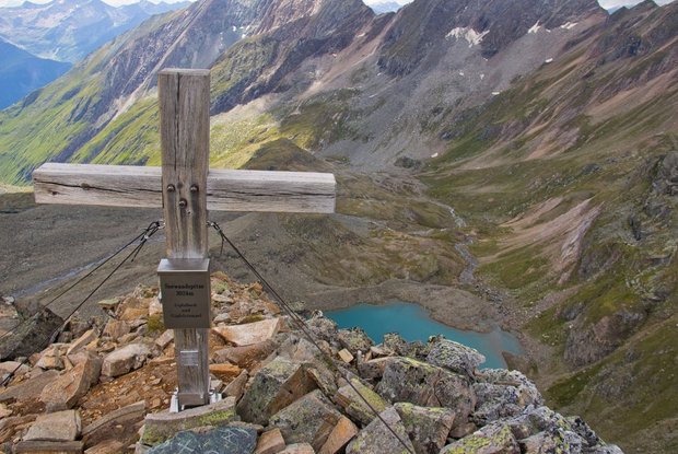
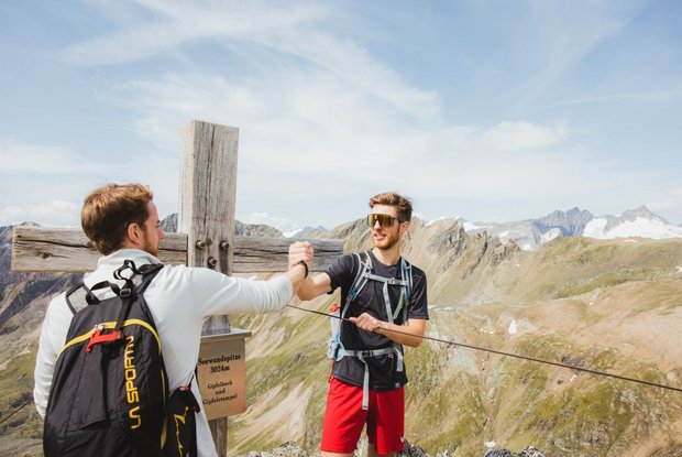
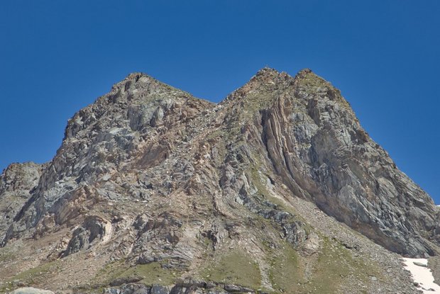
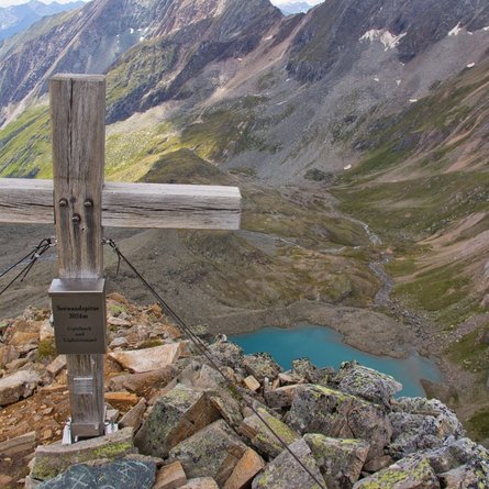
Bike & Hike Seewandspitze 3.024m
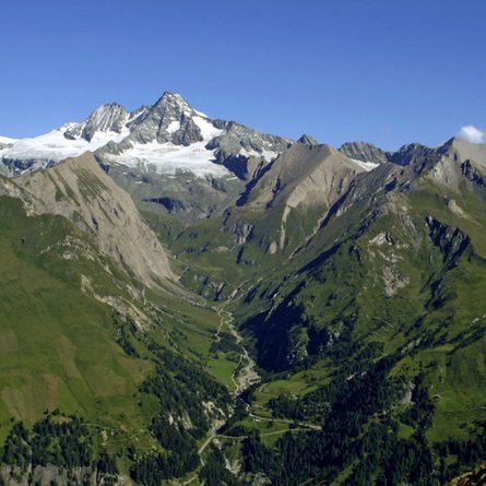
One of the most beautiful bike & hike tours in the Venediger region
The most important at a glance
difficulty
bike
average
hike
difficult
distance (in KM)
total distance
30.8 km
bike
22.9 km
hike
10.9 km
altitude meters uphill
total altitude
1850 m
bike
1000 m
hike
850 m
total tour time
total tour time
6 h
bike
3 h
hike
3 h
fitness:
* * * * *
🞙🞙🞙🞙🞙
technique:
* * * * *
🞙🞙🞙🞙🞙
starting point:
Freizeitzentrum Gries
destination point:
Seewandspitze 3.024m
best season:
JUN, JUL, AUG, SEP
arrival
Stop
Prägraten a. G. Gemeindeamt
Parking spot
Car park Freizeitzentrum Gries 1.300m
altitude profile
Current weather conditions
4°C/39°F °C
