Bike & Hike Regenstein 2.891m

Bike & Hike for mountain lake lovers

The most important at a glance

difficulty 🞽
bike
🄷
difficult
hike
🛬
difficult
distance (in KM)
total distance
🅕
23.9 km
bike
🄷
13.8 km
hike
🛬
10.1 km
altitude meters uphill
total altitude
🅕
1800 m
bike
🄷
680 m
hike
🛬
1120 m
total tour time
total tour time
🅕
6.25 h
bike
🄻
2.25 h
hike
🛬
4 h
fitness:

* * * * *

🞙🞙🞙🞙🞙

technique:

* * * * *

🞙🞙🞙🞙🞙

starting point:
Blosbrücke
destination point:
Regenstein 2.891m
best season:
JUN, JUL, AUG, SEP

arrival

Stop

Hopfgarten i. D. Zwenewaldbrücke

Parking spot

Car park Ratzell 1.100m

altitude profile

Pdf file

Gpx file

Interactive map

Current weather conditions

Sonne-03.png

-2°C/28°F °C

Beschreibung Bike

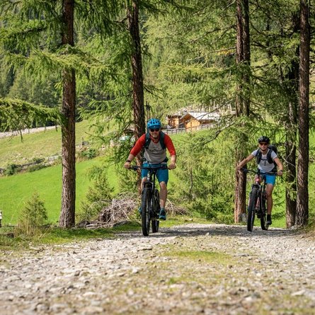
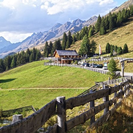
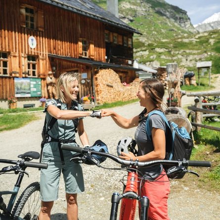
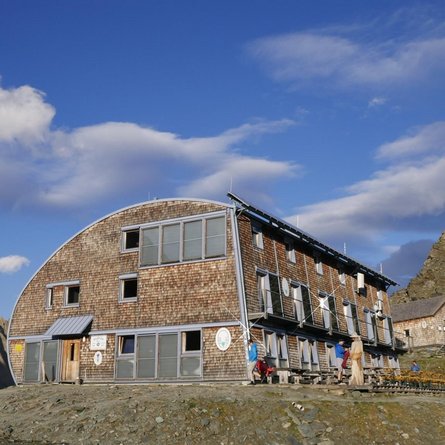
The starting point of route 108 is the "Blosbrücke" bridge. At the beginning of the route, there is a medium-steep climb spread over serpentines, which then changes after about 2.5 km into an equally long, flat section that leads the biker through the idyllic Zwenewaldtal valley. Immediately before the finish, at the Bloshütte snack station, there is another medium-steep climb waiting to be tackled.


The times are for E-Bikers.

Beschreibung Wanderung

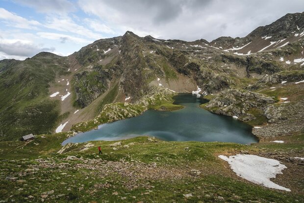
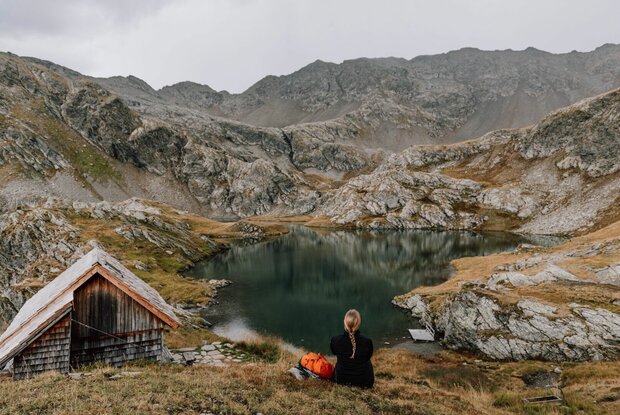
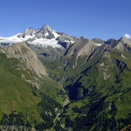
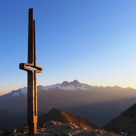
From the Bloshütte, head into the valley via the Fenstersteig (No. 58) to the picturesque and beautiful Geigensee and from there on to the Regenstein (2,891m). The path is very exposed and steep, especially on the ridge.

Newsletter

Subscribe to our newsletter and receive the best tips every month for current offers, mountain tours, events and much more.