Bike & Hike Neue Reichenberger Hütte 2.586m

Bike & Hike for beginners

The most important at a glance

difficulty 🞽
bike
🄷
average
hike
🛬
average
distance (in KM)
total distance
🅕
21.3 km
bike
🄷
9.3 km
hike
🛬
12 km
altitude meters uphill
total altitude
🅕
1180 m
bike
🄷
400 m
hike
🛬
780 m
total tour time
total tour time
🅕
4.5 h
bike
🄻
1.5 h
hike
🛬
3 h
fitness:

* * * * *

🞙🞙🞙🞙🞙

technique:

* * * * *

🞙🞙🞙🞙🞙

starting point:
St. Jakob in Defereggen
destination point:
Neue Reichenberger Hütte 2.586m
best season:
JUN, JUL, AUG, SEP, OCT

arrival

Stop

St. Jakob i. D. Gemeindeamt

Parking spot

Car park Trojeralmtal 1.640m

Car park Trojeralmtal

altitude profile

Pdf file

Gpx file

Interactive map

Current weather conditions

Schnee-01-02-03.png

1°C/34°F °C

Beschreibung Bike

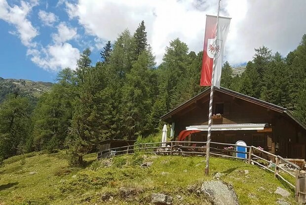
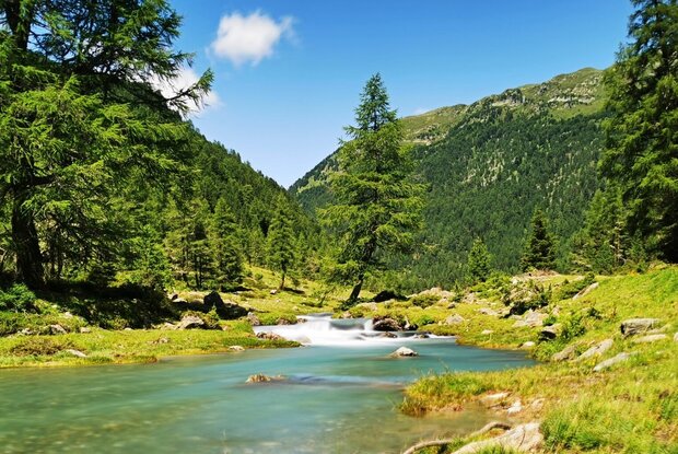
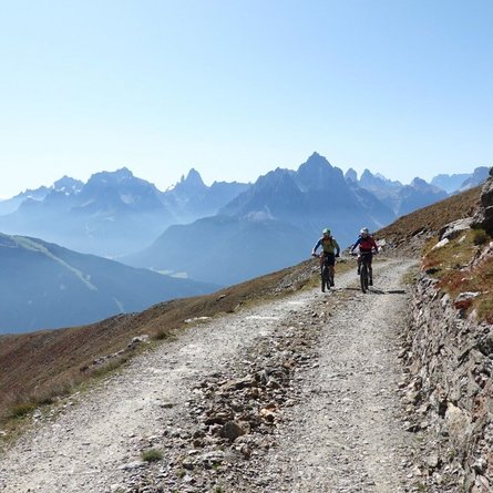
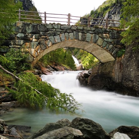
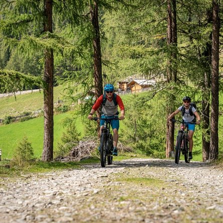
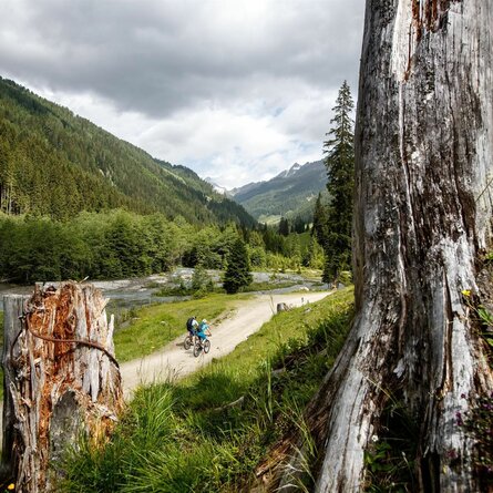
The moderately difficult mountain bike route no. 151 "Trojer Alm" leads from St. Jakob i. Defereggen via an asphalt serpentine road on the sunny side to the Außerberg. After about 1 kilometer you come to a wide gravel road and it continues to the parking lot Trojeralmtal. The route is not very steep in this section and, combined with the murmur of the Trojer Almbach stream, invites you to enjoy cycling. After about 4.5 km you reach the destination of the route and can enjoy regional delicacies at the Trojer Alm snack station. The times are for E-Bikers.

Beschreibung Wanderung

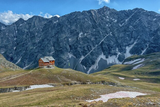
After a refreshment at the Trojeralm, we walk along the well-maintained trail first to the end of the Trojeralm valley and then on to the Neue Reichenberger Hütte.

Newsletter

Subscribe to our newsletter and receive the best tips every month for current offers, mountain tours, events and much more.