Bike & Hike Figerhorn 2.743m

Bike & Hike route for beginners

The most important at a glance

difficulty 🞽
bike
🄷
average
hike
🛬
average
distance (in KM)
total distance
🅕
19.3 km
bike
🄷
12.8 km
hike
🛬
6.5 km
altitude meters uphill
total altitude
🅕
1395 m
bike
🄷
584 m
hike
🛬
807 m
total tour time
total tour time
🅕
6.66 h
bike
🄻
2.16 h
hike
🛬
4.5 h
fitness:

* * * * *

🞙🞙🞙🞙🞙

technique:

* * * * *

🞙🞙🞙🞙🞙

starting point:
Kals a. G. Gemeindeamt 1.400m
destination point:
Figerhorn 2.743m
best season:
JUN, JUL, AUG, SEP

arrival

Stop

Kals a. G. Gemeindeamt

Parking spot

Car park Kals centre

altitude profile

Pdf file

Gpx file

Interactive map

Current weather conditions

Schnee-01-02-03.png

1°C/34°F °C

Beschreibung Bike

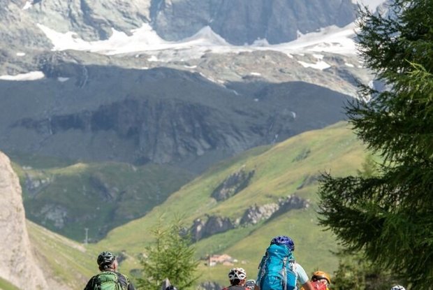
From the municipal office in Kals a. G. you first head west, then turn right at the school and follow the old Lucknerhausstraße (steeply ascending forest road) to the junction of the new Kalser Glocknerstraße (asphalted). Here you turn right again and follow the asphalted Lucknerhausstraße, about 1 km further to the Alpengasthof Lucknerhaus. The return journey to Kals a. G. is then via the asphalted toll road.


The times are for E-Bikers.
Beschreibung Wanderung

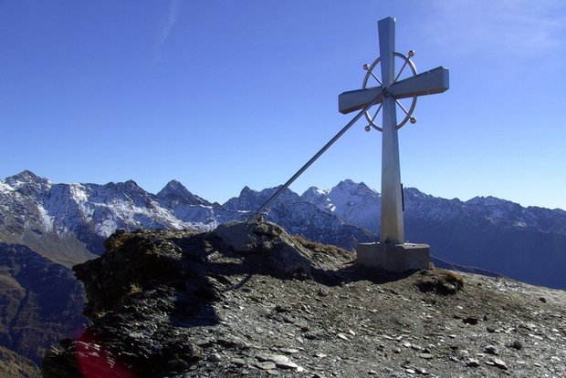
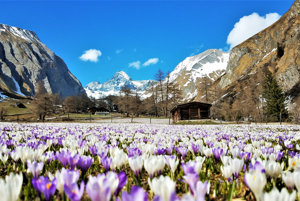
To the left of the Lucknerhaus, the "Wendelin-Weingartner-Weg" No. 42 leads in the direction of the Figerhorn. After a few switchbacks through the initially steep area, you reach the "Greiwiesen". The path continues flatter until you reach the "Grei Bühel". Heading north, you march along the path towards the summit flank of the Figerhorn. Finally, you climb the last meters over the ridge ridge, and thus towards the beautiful summit cross!

Newsletter

Subscribe to our newsletter and receive the best tips every month for current offers, mountain tours, events and much more.