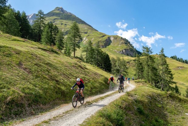
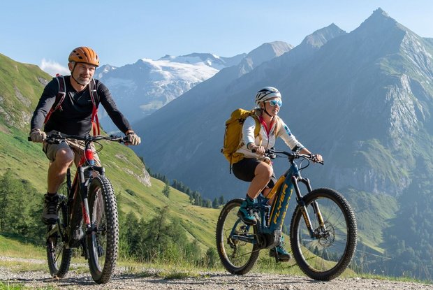
Starting point is the car park Großdorf at the gondola in Kals am Großglockner. After about 5.5 kilometers and 500 meters in altitude, you reach the Kerer Alm (not managed) via a forest road.
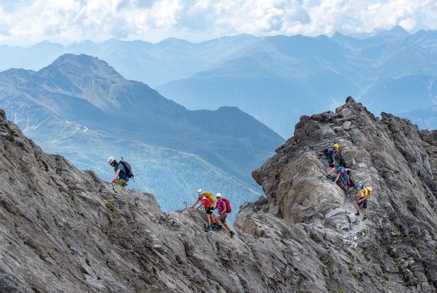
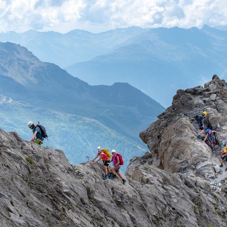
From here, you first take trail no. 22 to the Hohe Tor at 2,477m. From there you turn north, in the direction of Kendlspitze/Dürrenfeldscharte. Shortly below the Tschadinhorn, a path (a short section secured with a steel rope) leads quite steeply uphill to the start of the climbing passage at 2,935m. The climbing route is well visible secured with theniushooks along the ridge. Thus, this section can also be mastered without express slings. The difficulty here is mostly I - II, a short passage also III-. However, the route is very exposed and therefore special attention is required.
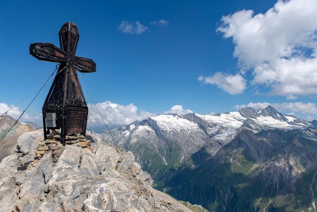
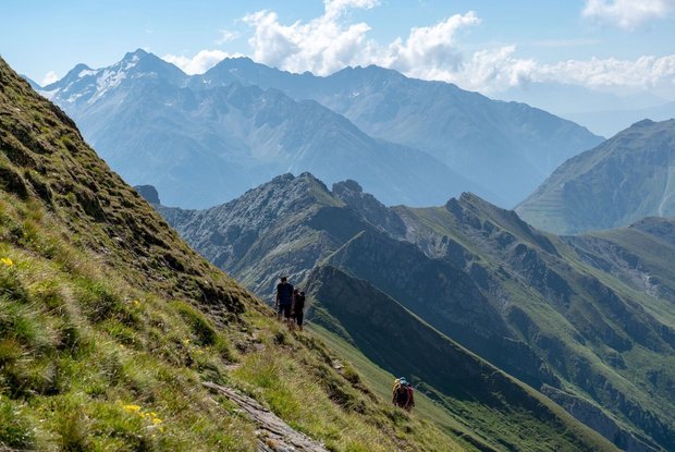
The massive-imposing summit cross of the Kendlspitze is an extremely popular photo motif. The descent is via the area secured with steel rope to the Hintere Kendlspitze and then further in the direction of Dürrenfeldscharte. There continue via the normal path back to Kerer Alm.
The times are for E-Bikers.
