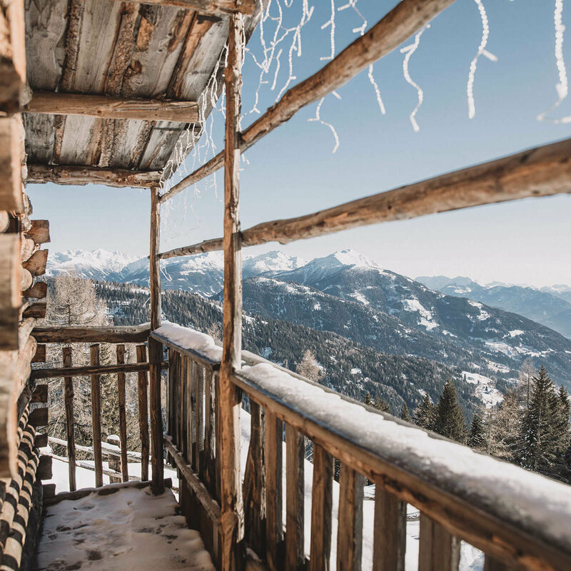
The authentic mountain village Kartitsch at 1356 metres in the Osttirol Gailtal is the optimal base for winter hikes. To enjoy the extensive all-round view of the Lienz Dolomites, the Carnic Alps as far as Italy, you do not need to conquer many altitude metres due to the high starting location. The altitude promotes relaxation even as you sleep and also ensures snow – at the same time with the highest number of hours of sunshine in Austria.
Winter hiking village Kartitsch
When nature opens up introspection
Kartitsch in Osttirol has been the first winter hiking village in Austria since 2018. Situated in one of the most beautiful high valleys of the Alps, the idyllic mountaineering village satisfies longings for winter experiences close to nature. Meditative tranquillity in the snowy winter forest, interrupted only by the crunching of steps in the snow, or the occasional call of a forest animal. Your own breath in the clear winter air determines the rhythm. The breathtaking mountain panorama will make every exertion seem effortless. Winter hiking slows you down and through active regeneration in harmony with nature, the body and mind are brought together again.
Snow, sun and relaxation guarantee

Winter hiking paths at the winter hiking village Kartitsch
9 enjoyable certified paths through the snowy winter landscape
The original, well-tended, cultured landscape of the highest valley in Osttirol is a fabulous setting for 9 certified winter hiking paths. All the indicated routes are maintained and cleared throughout the winter to enable effortless walking through the snowy winter landscape. The infrastructure measures are deliberately unintrusive to nature. Along the Schustertal winter hiking path, there is the surprising sight of mighty boulders that stem from the last Ice Age. Along the Dorfberg long-distance hiking path (10.5km) from St. Oswald, you will be accompanied by a view of the village Kartitsch as well as a constantly changing interplay of sunny and shady stretches on the way up, which affords a breathtaking view of the Carnic ridge, from Großer Kinigat to Ortler.
Along the sunny Innerlerchweg (5km), three benches arranged with different visual axes invite you to take a rest. From there you can gaze far into the valleys and Großer Kinigat presents itself proudly with the Europe peace cross. The Wiesenweg (3.8km) links St. Oswald with the main locality Kartitsch. On this modest sunny family path, the fabulous view also accompanies you constantly: the main alpine ridge shows its full majesty, one has a view into all five valleys that can be explored from Kartitsch. Resting places that can also be used in winter can also be found on all 9 winter hiking trails and you can call in to cosy inns along all the routes.


