Großdorf-Mühlenweg-Burg

The most important at a glance

distance
3.5 km
altitude meters uphill
🔋
300 m
altitude meters downhill
🔋
300 m
walking time uphill
1:30 h
total walking time
3 h
highest point
🞍
1600 m
difficulty
🞽
average
state:
open
fitness:

* * * * *

🞙🞙🞙🞙🞙

technique:

* * * * *

🞙🞙🞙🞙🞙

public transport:

Public busline 952 from Huben, busstop "Unterburg" o "Großdorf"

parking:

parking in Großdorf or Unterburg, free parking

starting point:
Tou
destination point:
Tourismusinformation Kals a. G.
best season:
JAN, FEB, MAR, APR, NOV, DEC
route typ:
circuit family tour

arrival

Stop

Kals a. G. Unterburg

Kals a. G. Burg

Kals a. G. Großdorf

Parking spot

Car park Großdorf

altitude profile

Pdf file

Gpx file

Interactive map

Current weather conditions

Sonne-03.png

1°C/34°F °C

Description

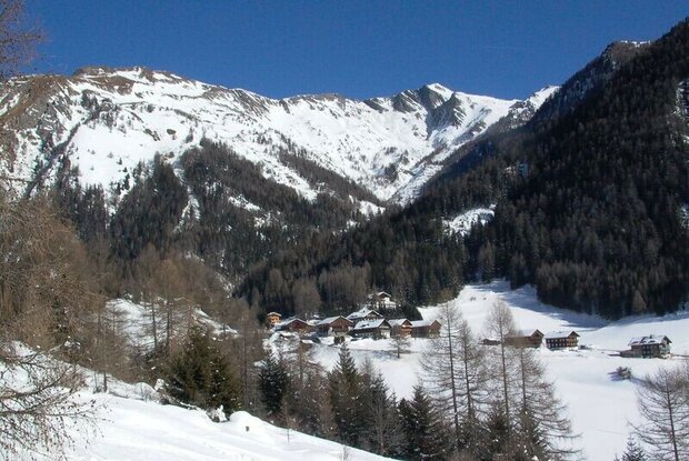
From Kals/Unterburg/Großdorf via the Mühlenweg, path no. 35, along the stream and further via path no. 36 up to Kals/Burg. The water mills of Kals were probably built before the 18th century and are listed buildings. Until the 1960s, every farmer ground his own cultivated barley or oats. From 1975 onwards, individual mills were renovated and are still fully functional today and are used for their own needs and for tourist purposes. They can be visited in operation in summer.
 

Newsletter

Subscribe to our newsletter and receive the best tips every month for current offers, mountain tours, events and much more.