Erschbaumertal trail

Easy winter hike into the Erschbaumertal

The most important at a glance

distance
3.5 km
altitude meters uphill
🔋
140 m
altitude meters downhill
🔋
140 m
walking time uphill
1:30 h
total walking time
1:30 h
highest point
🞍
1460 m
difficulty
🞽
easy
state:
closed
fitness:

* * * * *

🞙🞙🞙🞙🞙

technique:

* * * * *

🞙🞙🞙🞙🞙

public transport:

Mit dem Bus bis zur Haltestelle "Kartitsch Gemeindeamt"

parking:

Parkplatz im Zentrum von Kartitsch

starting point:
Parkplatz Zentrum Kartitsch
destination point:
Bushaltestelle Kartitsch
best season:
JAN, FEB, MAR, APR, NOV, DEC

arrival

Stop

Kartitsch Bachler

Kartitsch Gemeindeamt

Parking spot

Car park Kartitsch Center

altitude profile

Pdf file

Gpx file

Interactive map

Current weather conditions

Sonne-01.png

20°C/68°F °C

Description

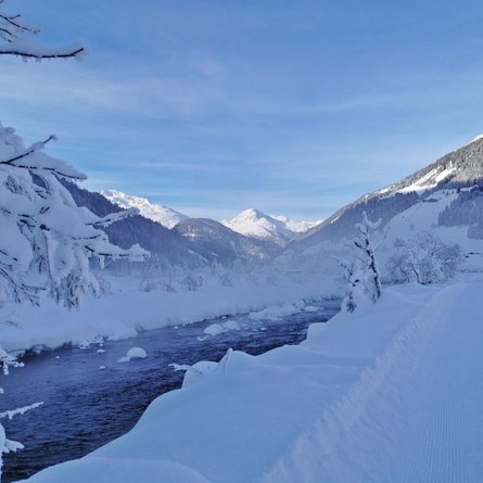
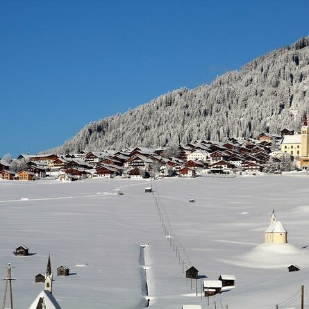
From the centre of Kartitsch you walk in a southerly direction to Neuwinkl. Upon arrival in Neuwinkl, you follow the path towards Erschbaumertal. After a short but easy ascent, the path continues relatively flat into the valley. Half way through Erschbaumertal, you can turn in the direction of Bachler-Höfe. From there you can ride back conveniently by postbus or continue the walk in the direction of Innerlerch (connection possibility: Innerlandweg). Alternatively, if you follow the Erschbaumertalweg you soon reach a wooden bridge. The maintained official hiking path leads a little further and then ends. It is an easy walk that does not take too long. End point: bus stop Bachler-Höfe or the Erschbaumertal end of the path. Connection possibility: Winklertalweg

Newsletter

Subscribe to our newsletter and receive the best tips every month for current offers, mountain tours, events and much more.