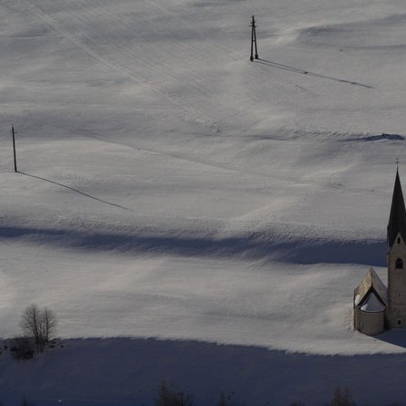
The Gasse circular trail starts at the Herz-Ass Platzl in the village centre of Innervillgraten. Pass the tourist office and head uphill towards Einattal, after 250 metres turn left at the "Wiedemair Höfe" farms and follow the path between the centuries-old stone walls. After the "Schmidhofer Höfe" farms, cross the main road and the Villgrater Bach stream. Then turn left and walk out of the valley along the Talbach stream to the Prantersiedlung. Cross the Villgrater Bach again here and return to the starting point along the main road. Shortly after the church, it is worth making a detour to the dorf.ladele on the church square, where you can enjoy local delicacies and handicrafts. The trail can be walked in both directions and offers information on old crafts in the Villgraten Valley along the way.
Menu


