Alpine paradise - Staller Sattel

The most important at a glance

distance
3.9 km
altitude meters uphill
🔋
68 m
altitude meters downhill
🔋
70 m
walking time uphill
36 min
walking time downhill
30 min
highest point
🞍
2051 m
difficulty
🞽
easy
state:
closed
fitness:

* * * * *

🞙🞙🞙🞙🞙

technique:

* * * * *

🞙🞙🞙🞙🞙

starting point:
Lackenstüberl
destination point:
Grenze zu Italien
best season:
JAN, FEB, MAR, DEC
route typ:
family tour

altitude profile

Pdf file

Gpx file

Interactive map

Current weather conditions

Sonne-01.png

20°C/68°F °C

Description

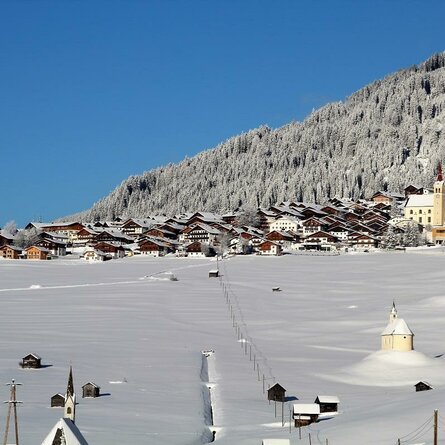
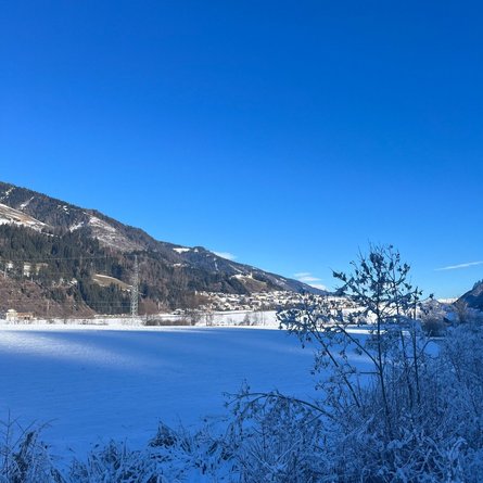
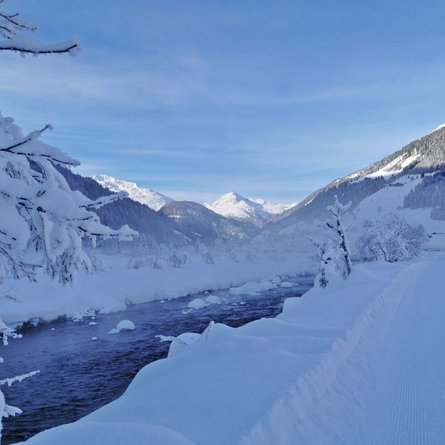
Staller Sattel rises up on the western end of Defereggental and is a natural end point. It is right here that the border to Italy is located. Due to the generally open location, sun-worshipping hikers enjoy some extensive indulgence with the sun’s warming rays on Staller Sattel.

Newsletter

Subscribe to our newsletter and receive the best tips every month for current offers, mountain tours, events and much more.