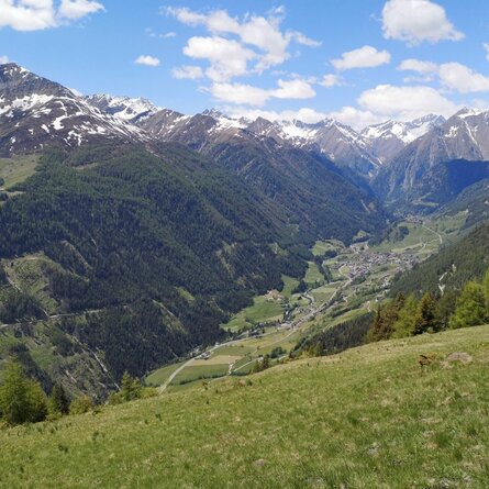
The trail leads from Ströden to the Pebell or Islitzeralm, and from there along the Umbalfälle waterfall path towards the Clarahütte. Leave the hiking trail 100 metres before the Reggenbach stream on a small hill (signpost!) and climb in a northerly direction, initially fairly steeply (rope insurance), then keep your eyes fixed on the southern flank of the Ogasil until you reach the junction that leads eastwards into the "Zopat". From here, the summit of the Wiesbauerspitze is already clearly visible and serves as a further orientation aid.
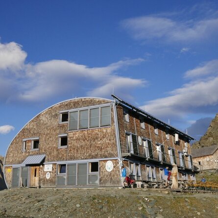
After a short ascent you reach the "Zopatbach" and after about 15 minutes the small Zopathütte at 2,581 metres. (Jägerhütte not serviced). Here you can enjoy a little refreshment before tackling the last section of the marvellous trail. The last few metres to the summit cross require some more strength until the window finally opens up in all directions.


