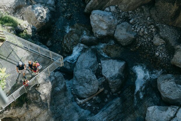
The Lavant forest trail starts in the Wacht district of the Lavant municipality and first leads along a wide gravel path then on along a somewhat narrower but easy uphill path to the Frauenbach waterfall. There, at the Hochstadel north face, there is a viewing platform from which you can enjoy a magnificent view of the Frauenbach waterfall. Over the years, the water has formed smooth walls and hollowed-out basins.
Back on the gravel path, the route continues along the Frauenbach to the northeastern part of the forest back to the starting point. The circuit is especially suitable for families, because the many wooden figures such as squirrels, woodpecker, owl & co. convey valuable knowledge and are particularly interesting for children.
Access is only possible at certain times due to military exercises! Please obtain information beforehand at the East Tyrol tourist information office.


