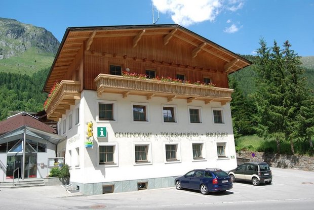
Starting from the tourist information office Prägraten a.G, first walk in an easterly direction to the grocery store "MPreis MiniM". After this, take a sharp left through a short section of forest and return to the road (Wallhorner Gemeindestraße). Turn left at the fork and follow the signs to the chapel "Maria Hilf Kapelle" (approx. 150 metres) in Wallhorn. Follow the municipal road for a little while until reaching a field path. Then walk down along the stream Timmelbach for a few metres and cross the stream over the arched bridge. Continue along the field path until reaching the asphalt road again. Now follow this municipal road down arriving at the main road (Virgener Landesstraße). Once there, turn left again and walk in an easterly direction back to the tourist information office Prägraten a.G.
Menu


