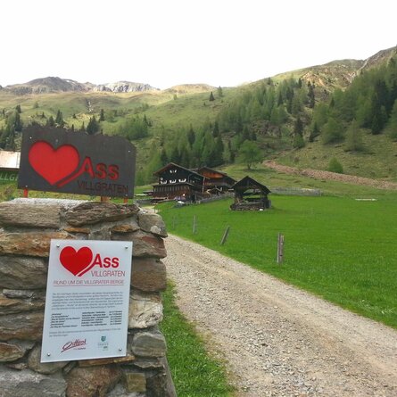
Regenstein 2.891m

Experience unforgettable moments at the summit.

The most important at a glance

distance
9.6 km
altitude meters uphill
🔋
1772 m
altitude meters downhill
🔋
1772 m
walking time uphill
7 h
walking time downhill
5 h
total walking time
12 h
highest point
🞍
2891 m
difficulty
🞽
difficult
fitness:

* * * * *

🞙🞙🞙🞙🞙

technique:

* * * * *

🞙🞙🞙🞙🞙

best season:
JUN, JUL, AUG, SEP

arrival

Haltestelle

Hopfgarten i. D. Zwenewaldbrücke

Parkplatz

Car park Ratzell 1.100m

altitude profile

Pdf file

Gpx file

Interactive map

Current weather conditions

Sonne-01.png

-6°C/21°F °C

Description

From Blosbrücke (Hopfgarten i. D.) follow the trail, in a few hairpin bends, into Zwenewaldtal. From here you get a lovely view to the Glockner massif. The road proceeds south, almost flat, in this lovely altitude valley, past Zwenewaldalm up to Bloshütte. From the Bloshütte the road leads into the valley via the Fenstersteig (No. 58) to the Geigensee lake and from there to the Regenstein (2,891m). Walking time from Bloshütte to Regenstein ca. 4 hours

Newsletter

Subscribe to our newsletter and receive the best tips every month for current offers, mountain tours, events and much more.