Menu
Pustertaler Almweg
The most important at a glance
distance
30 km
altitude meters uphill
870 m
altitude meters downhill
1470 m
total walking time
10 h
highest point
2060 m
difficulty
easy
fitness:
* * * * *
🞙🞙🞙🞙🞙
technique:
* * * * *
🞙🞙🞙🞙🞙
public transport:
Freitags mit dem Wanderbus zur Hochsteinhütte.
parking:
Parkplatz Hochsteinhütte
starting point:
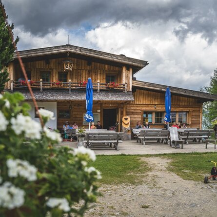
Hochsteinhütte
destination point:
Kristeinertal
best season:
MAY, JUN, JUL, AUG, SEP
arrival
Parking spot
Car park Hochsteinhütte
altitude profile
Current weather conditions
15°C/59°F °C
