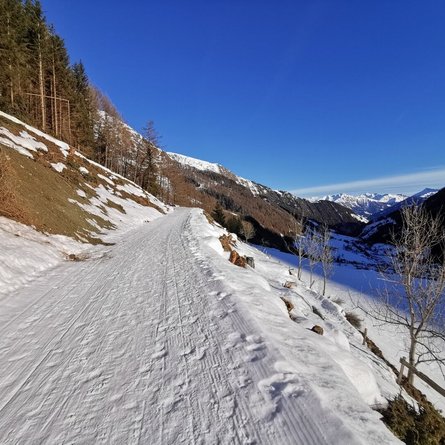
The very beautiful winter hiking trail in a sunny location links Rauchenbach to the Innerlerch farms. The starting point is the car park in Rauchenbach. It climbs gently towards Dorfberg and soon you branch left towards Innerlerch. The relatively flat hiking trail leads through snowy meadows and forests to the Innerlerch farms, where you can enjoy the unique view towards the Karnischer Hhenweg and the whole village of Kartitsch as far as Hollbruck. The Großer Kinigat with the Europe peace cross presents itself proudly. It is the highest peak in this part of the main Alpine crest. From the Innerlerch farms, one can either walk along the municipal road towards Erschbaumertal and the village centre or hike along the higher, at the beginning slightly ascenting winter hiking path back towards Dorfberg and on to the original starting point (Rauchenbach car park). It is a very beautiful circuit with a wonderful panoramic view. Connection possibility: long-distance hiking trail Dorfberg, Erschbaumertalweg
Menu


