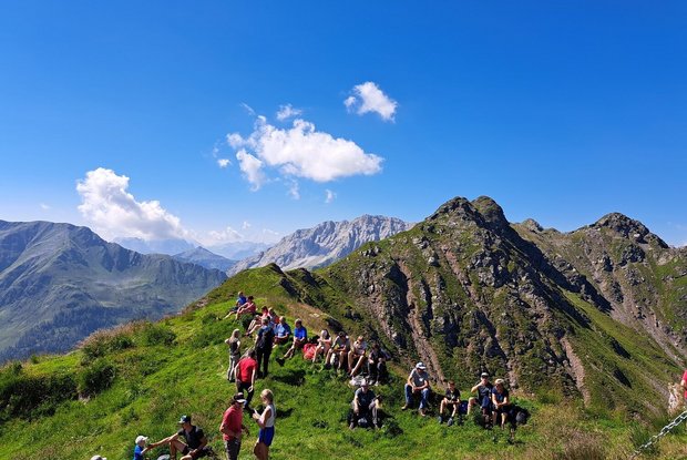
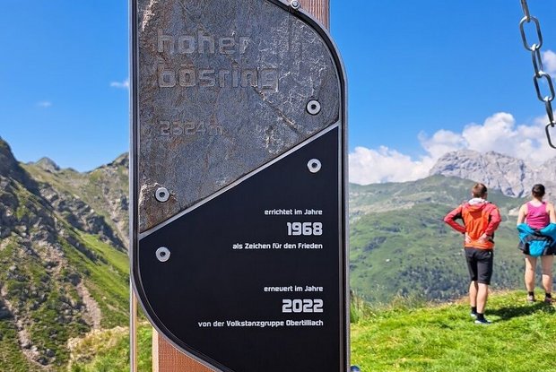
Hoher Bösring 2,324 m

The most important at a glance

distance
6.4 km
altitude meters uphill
🔋
940 m
walking time uphill
3 h
walking time downhill
2 h
total walking time
3 h
highest point
🞍
2324 m
difficulty
🞽
average
fitness:

* * * * *

🞙🞙🞙🞙🞙

technique:

* * * * *

🞙🞙🞙🞙🞙

public transport:

Mit dem Bus bis zur Haltestelle "Obertilliach Biathlonzentrum"

parking:

Parkplatz Biathlonzentrum

starting point:
Biathlonzentrum Obertilliach
destination point:
Hoher Bösring
best season:
MAY, JUN, JUL, AUG, SEP, OCT

arrival

Haltestelle

Obertilliach Biathlonzentrum

Parkplatz

Car park Biathloncentre Obertilliach

altitude profile

Pdf file

Gpx file

Interactive map

Current weather conditions

Sonne-01.png

-6°C/21°F °C

Description

Lovely, moderate difficulty level mountain hike which almost anyone can tackle.

The starting point is the Biathlon centre. Around 150 metres after the Gailbrücke hiking route 16 bears right and proceeds through the forest up to the Scheibrastl above the treeline. Via the Alpine floor, the steep path then proceeds up to the Hohe Bösring, which has been ‘acquired’ by sheep and is relatively steep in the final section.
Newsletter

Subscribe to our newsletter and receive the best tips every month for current offers, mountain tours, events and much more.