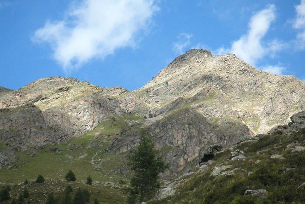
Hochgrabe 2,951m

The most important at a glance

distance
11.2 km
altitude meters uphill
🔋
1080 m
altitude meters downhill
🔋
1070 m
walking time uphill
3 h
walking time downhill
2:30 h
total walking time
6:30 h
highest point
🞍
2925 m
difficulty
🞽
average
fitness:

* * * * *

🞙🞙🞙🞙🞙

technique:

* * * * *

🞙🞙🞙🞙🞙

public transport:

Mit dem Herz-Ass Wandertaxi bis zur Volkzeiner Hütte

parking:

Parkplatz Volkzeiner Hütte

starting point:
Parkplatz Volkzeinerhütte
destination point:
Hochgrabe
best season:
JUN, JUL, AUG, SEP

arrival

Parking spot

Car park Volkzeiner Hütte 1.880m

altitude profile

Pdf file

Gpx file

Interactive map

Current weather conditions

Sonne-02.png

2°C/36°F °C

Description

From Volkzeiner Hütte in the Winkeltal on a forest trail in a  north-westerly direction, after a few minutes bear left and proceed on a steep path via a steep section. At the road junction bear take a sharp turn, bearing south and proceed in a moderate climb up to the Goldtrögele, continuing on the north-easterly ridge, via which you get to the summit of the Hochgrabe in just a few minutes. Take care – in early summer there are still frequently snow fields.

Newsletter

Subscribe to our newsletter and receive the best tips every month for current offers, mountain tours, events and much more.