Hiking tour to Sudetendeutschen Hütte 2.650m

The most important at a glance

distance
15.5 km
altitude meters uphill
🔋
1200 m
altitude meters downhill
🔋
1200 m
walking time uphill
4 h
walking time downhill
3 h
total walking time
7 h
highest point
🞍
2650 m
difficulty
🞽
average
fitness:

* * * * *

🞙🞙🞙🞙🞙

technique:

* * * * *

🞙🞙🞙🞙🞙

public transport:

Matrei i. O. Mittelschule

parking:

Parking place Glanz

starting point:
Parking place Glanz
destination point:
Parking place Glanz
best season:
JUN, JUL, AUG, SEP

arrival

Parking spot

Car park Stein 1.340m

altitude profile

Pdf file

Gpx file

Interactive map

Current weather conditions

Sonne-02.png

2°C/36°F °C

Description

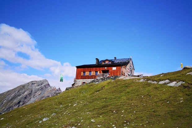
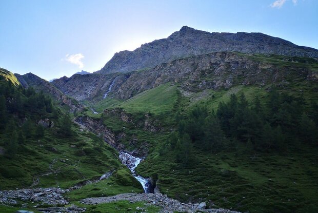
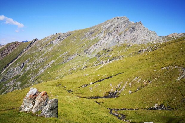
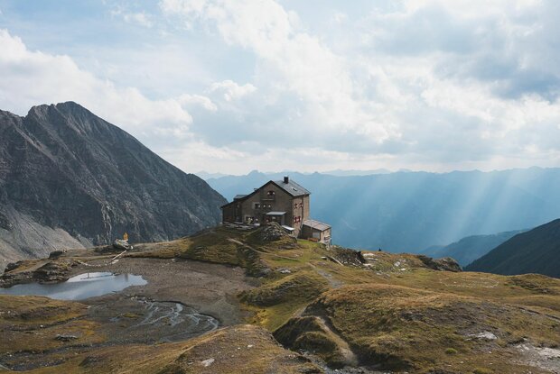
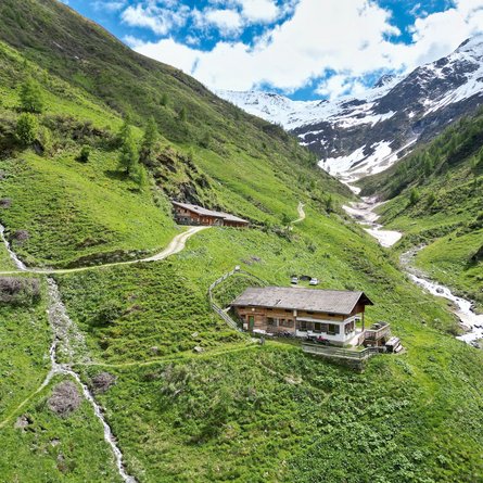
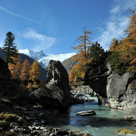
​The starting point of this demanding hike is the parking place Glanz. From there, follow either the wide road or the somewhat steeper forest path. Then walk across the so-called Edelweißwiese and stay on the same path to reach the hut Äußere Steiner Alm. From the Äußere Steiner Alm, take the marked trail towards the hut Sudetendeutsche Hütte, which first leads over a flat valley floor and then over steeper terrain. The trail continues along the stream Steinerbach until the terrain becomes somewhat flatter again. Soon you are greeted by the imposing moutain range Granatspitzgruppe with its magnificent mountain peaks. The hut Sudetendeutsche Hütte, embedded in this group, is already in view at this point.

Newsletter

Subscribe to our newsletter and receive the best tips every month for current offers, mountain tours, events and much more.