Hike to the Venedigerhaus Innergschlöß

The most important at a glance

distance
8.5 km
altitude meters uphill
🔋
180 m
altitude meters downhill
🔋
180 m
walking time uphill
1:30 h
walking time downhill
1 h
total walking time
2:30 h
highest point
🞍
1690 m
difficulty
🞽
easy
public transport:

Matreier Tauernhaus

parking:

Parking place Matreier Tauernhaus

starting point:
Alpine inn Matreier Tauernhaus
destination point:
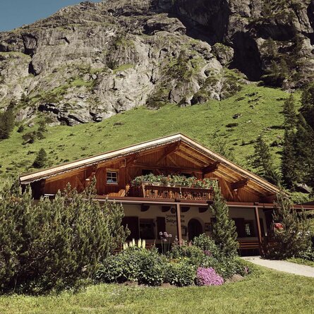
Alpine inn Venedigerhaus Innergschlöß
best season:
MAY, JUN, JUL, AUG, SEP, OCT
route typ:
family tour buggy-friendly tour

arrival

Stop

Matrei i. O. Tauernhaus

Parking spot

Car park Matreier Tauernhaus 1.510m

altitude profile

Pdf file

Gpx file

Interactive map

Current weather conditions

Sonne-02.png

2°C/36°F °C

Description

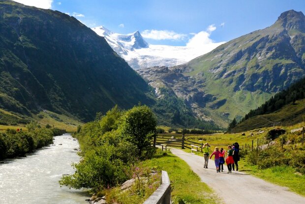
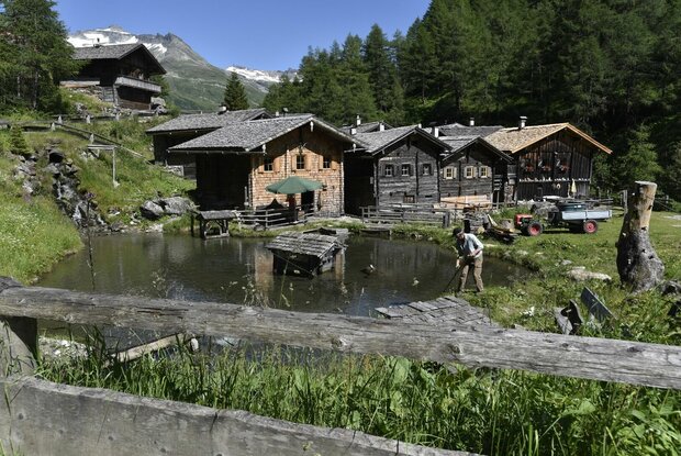
This leisurely hike starts at the Matreier Tauernhaus (1.511 m) and leads along a driveway, first slightly uphill past the alpine pastures Wohlgemutalmen up to the Berghaus Außergschlöß (1.680 m). 

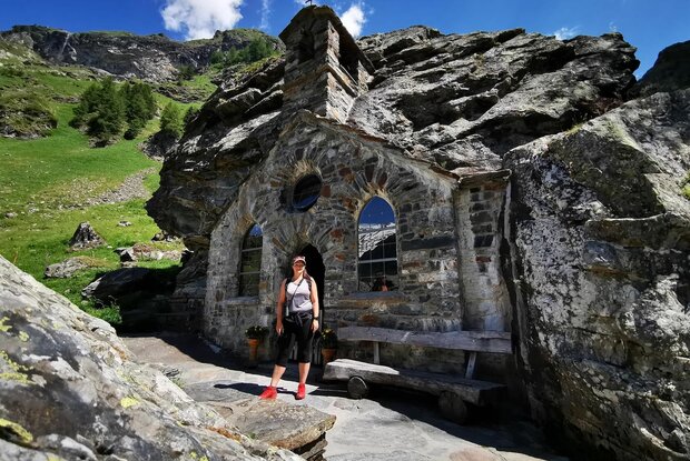
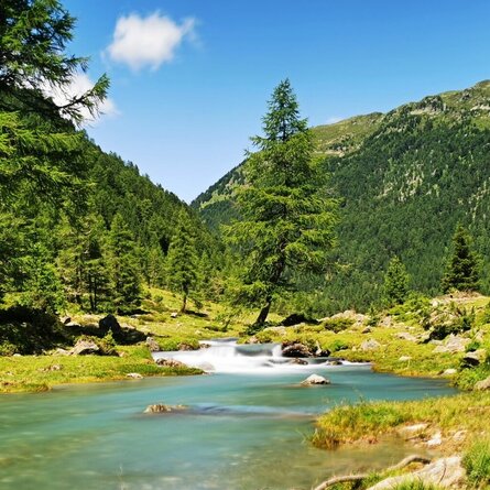
From the Berghaus Außergschlöß, the hike continues along the wild stream Gschlößbach without any major ascents towards the Venedigerhaus Innergschlöß (1.689 m). On the way from the Berghaus Außergschlöß to the Venedigerhaus Innergschlöß you can find the so-called Felsenkapelle (rock chapel).


The hike can also be done with a pushchair.

Alternatively you can also get to the hut by Taxi or "local train" Gschlösser Panoramazug.

Newsletter

Subscribe to our newsletter and receive the best tips every month for current offers, mountain tours, events and much more.